Stadsplattegrond City Flash New York | Hallwag (9783828300828)

- ISBN / CODE: 9783828300828
- Schaal: 1:18750
- Uitgever: Hallwag
- Soort: Stadsplattegrond
- Serie: City Flash
- Taal: Engels
- Schrijf als eerste een review
-
€ 6,95
Uitverkocht, nooit meer leverbaar
Beschrijving
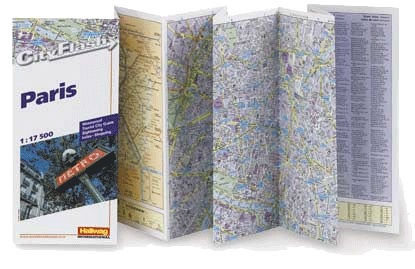
Waterproof, durable, indexed street plan of New York at 1:18,750, presented in a handy concertina fold, with a map of the environs of New York, and a diagram of the metro network. The main street plan is spread over both sides of the map, with one way streets indicated clearly, as are metro stations and ferry routes.
The map showing the environs of New York shows only the major road network for the area from Staten Island in the south east over to the Bronx in the north east. The map index only includes a selection of streets, and places of interest. There is a small inset showing the ferry routes around Liberty Island.
A small inset box provides a selection of dialing codes for New York, currency conversion information, and also emergency phone numbers.
Reviews
Geen reviews gevonden voor dit product.
Schrijf een review
Graag horen wij wat u van dit artikel vindt. Vindt u het goed, leuk, mooi, slecht, lelijk, onbruikbaar of erg handig: schrijf gerust alles op! Het is niet alleen leuk om te doen maar u informeert andere klanten er ook nog mee!
Ook interessant voor noord-amerika/verenigde-staten-van-amerika/new-york
-

Wandelgids Wandelen in New York | Od
€ 24,50Wandelgidsen New York -

Legpuzzel City Puzzle New York | Ext
€ 21,95Legpuzzels - 500 stukjes New York -

Reisgids Secret New York | Jonglez P
€ 20,95Reisgidsen New York -

Reisverhaal The New York Nobody Know
€ 20,95Reisverhalen New York -

Magnetische puzzel City Puzzle Magne
€ 12,95Magnetische puzzels New York