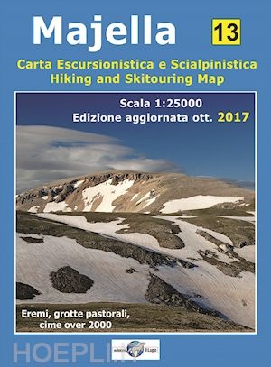
Wandelkaart - Topografische kaart 13 Majella - Majella National Parc | Edizione il Lupo (9788888450612)
- ISBN / CODE: 9788888450612
- Schaal: 1:25000
- Uitgever: Edizione il Lupo
- Soort: Topografische kaart, Wandelkaart
- Taal: Engels, Italiaans
- Uitvoering: -
- Bindwijze: -
- Schrijf als eerste een review
-
€ 14,25
Uitverkocht, nooit meer leverbaar
-
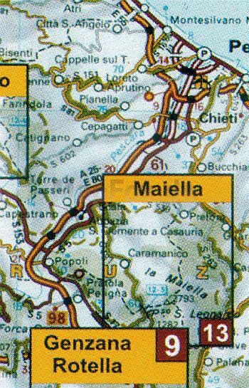
Overzicht wandelkaarten Lazio
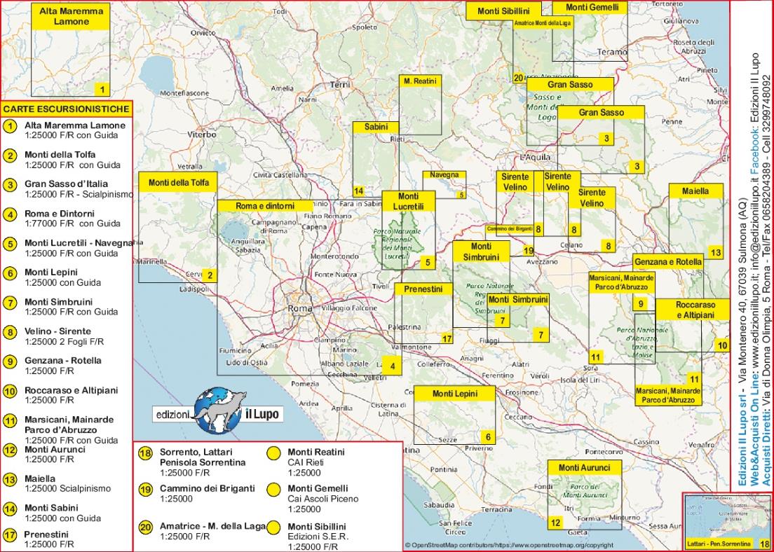
Producten op deze overzichtskaart:
Klik op een product om naar de pagina van dat product te gaan.
- Wandelkaart 02 Monti della Tolfa | Edizione il Lupo
- Wandelkaart 03 Gran Sasso d'Italia | Edizione il Lupo
- Wandelkaart 05 Monte Catillo - Monti Lucretili - Monte Navegna - Cervia | Edizione il Lupo
- Wandelkaart 06 Monti Lepini | Edizione il Lupo
- Wandelkaart 07 Simbruini | Edizione il Lupo
- Wandelkaart 08 Sirente - Velino Nationaal Park | Edizione il Lupo
- Wandelkaart - Topografische kaart 09 Abruzzen Monte Genzana - Monte Rotella - Montagne del Centro Abruzzo | Edizione il Lupo
- Wandelkaart - Topografische kaart 10 Abruzzen - Altipiani maggiori d`Abruzzo | Edizione il Lupo
- Wandelkaart 11 Abruzzo - Abruzzen - Monti Marsicani - Mainarde - Valle del Giovenco - Monti della Meta | Edizione il Lupo
- Wandelkaart - Topografische kaart 15 Monti Reatini - Terminillo | Edizione il Lupo
- Wandelkaart - Topografische kaart 16 Gruppo dei Monti Ernici | Edizione il Lupo
Overzichtskaarten
Beschrijving
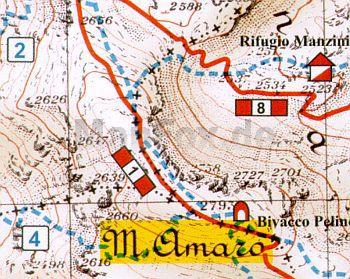
Goede wandelkaart - topografische kaart van Majella Nationark Parc. Wandelroutes zijn ingetekend op een schaal van 1:25.000. / Topografische kaart schaal 1:25.000 van het nationale park Majella, Maiella Abruzze met wandelroutes ingetekend - With the paths of the Park and the CAI and the runs of scialpinismo
The Majella National Park is one of Italy’s newest national parks. It was founded as late as in 1993, and stretches over some 86,000 hectares of spectacular terrain in the provinces of Pescara, Chieti and L’Aquila. Steep mountains, deep valleys and canyons combine with plateaus to provide natural habitat for a great many species of flora and fauna, some of them facing extinction. In fact, it is home to about 45 percent of the various wildlife species found in Italy
Reviews
Geen reviews gevonden voor dit product.
Schrijf een review
Graag horen wij wat u van dit artikel vindt. Vindt u het goed, leuk, mooi, slecht, lelijk, onbruikbaar of erg handig: schrijf gerust alles op! Het is niet alleen leuk om te doen maar u informeert andere klanten er ook nog mee!
Ook interessant voor europa/italie/abruzzenmolise
-

Wandelgids Italy's Sibillini Nationa
€ 19,95Wandelgidsen Umbrië - Marken -

Wegenatlas Atlante Stradale d'Italia
€ 24,95Wegenatlassen Abruzzen - Molise -

Wandelkaart Parco Nazionale d'Abruzz
€ 14,95Wandelkaarten Abruzzen - Molise -

Reisgids Abruzzo | Edicola
€ 24,50Reisgidsen Abruzzen - Molise -

Fietskaart - Wegenkaart - landkaart
€ 13,50Fietskaarten Abruzzen - Molise