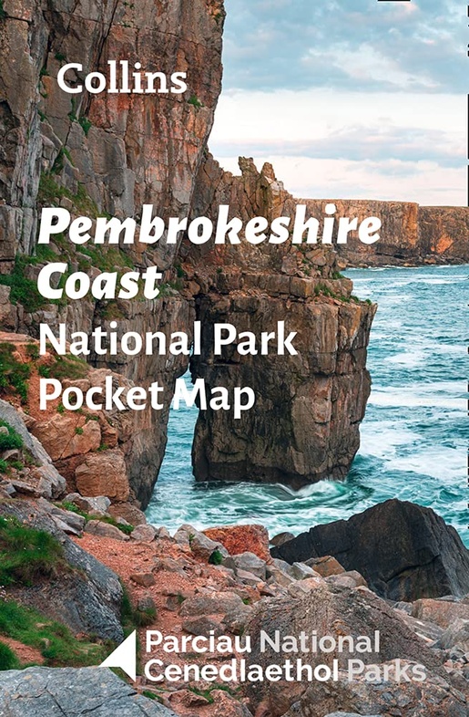
Wegenkaart - landkaart National Park Pocket Map Pembrokeshire Coast | Collins (9780008439163)
- ISBN / CODE: 9780008439163
- Editie: 2022
- Schaal: 1:133000
- Uitgever: Collins
- Soort: Wegenkaart
- Serie: National Park Pocket Map
- Taal: Engels
- Bindwijze: -
- Uitvoering: Papier
- Schrijf als eerste een review
-
€ 7,95
Op voorraad. Voor 17.00 uur op werkdagen besteld, morgen in huis in Nederland Levertijd Belgie
Gratis verzending in Nederland vanaf €35,-
Beschrijving
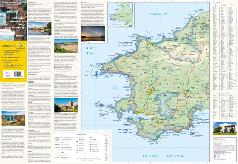
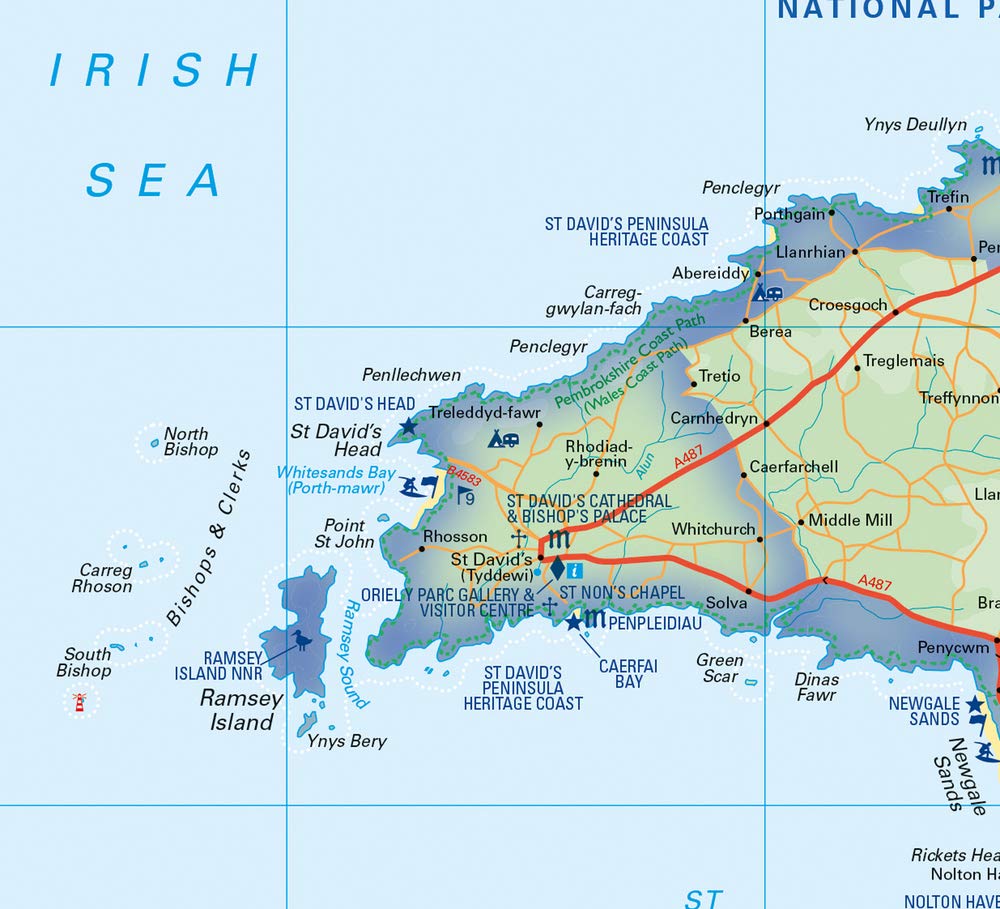
Duidelijke pocket wandelkaart met belangrijke toeristische informatie, bezienswaardigheden, campeerplekken e.d.
- Clear, detailed mapping
- Key park, tourist and travel information
- Ideal for planning visits to the National Park
- Index to help locate and plan your trip
Reviews
Geen reviews gevonden voor dit product.
Schrijf een review
Graag horen wij wat u van dit artikel vindt. Vindt u het goed, leuk, mooi, slecht, lelijk, onbruikbaar of erg handig: schrijf gerust alles op! Het is niet alleen leuk om te doen maar u informeert andere klanten er ook nog mee!
Ook interessant voor europa/engeland/wales
-

Reisgids Wales | Rough Guides
€ 22,50Reisgidsen Wales -

Wandelgids Pembrokeshire Coast Path
€ 20,95Wandelgidsen Wales -

Fietskaart - Wegenkaart - landkaart
€ 10,95Fietskaarten Wales -

Wandelkaart - Topografische kaart 15
€ 19,50Topografische kaarten Wales -

Wandelatlas Adventure Atlas Pembroke
€ 12,95Wandelatlassen ♦ Pembrokeshire Coast National Park