Winkelwagen
Geen items in winkelwagen
Ga naar winkelwagen
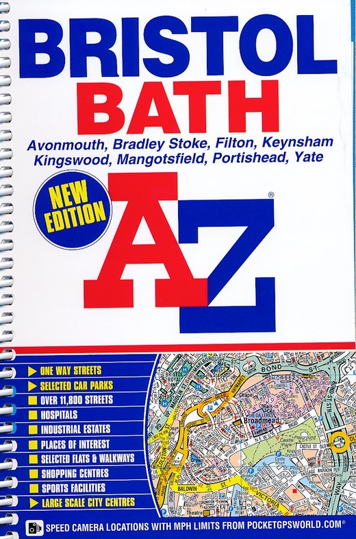
Stadsplattegrond - Wegenatlas Bristol - Bath | A-Z Map Company (9781843486237)
in ringband - A5 formaat
- ISBN / CODE: 9781843486237
- Editie: 2015
- Aantal blz.: 168
- Uitgever: A-Z Map Company
- Soort: Stadsplattegrond, Wegenatlas
- Taal: Engels
- Uitvoering: -
- Bindwijze: RIngband
- Schrijf als eerste een review
-
€ 8,95
Uitverkocht, nooit meer leverbaar
Beschrijving
Handzame gedetailleerde stratenatlas van Bristol, Bath en omgeving.
This spiral bound edition of the A-Z Bristol and Bath Street Atlas includes coverage of:
Avonmouth
Bradley Stoke
Filton
Keynsham
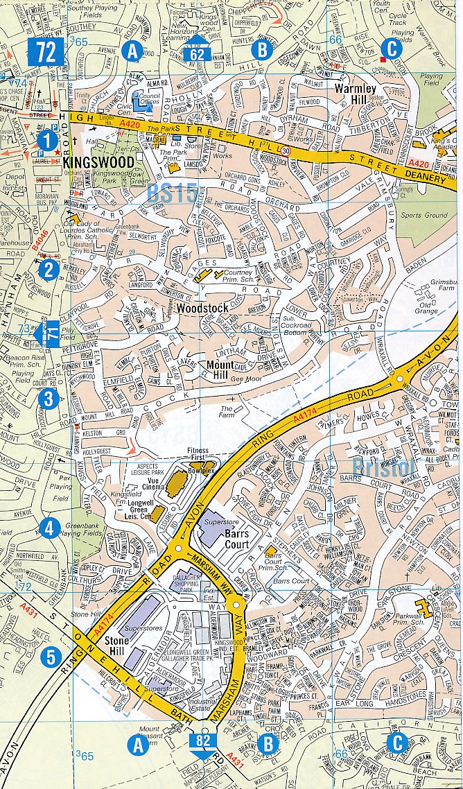
Kingswood
Mangotsfield
Portishead
Yate
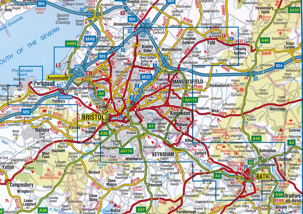
The 104 pages of continuous street mapping extends to include:
Frampton Cotterell
Chipping Sodbury
Oldland
Swainswick
Batheaston
University of Bath
Combe Down
Bath Spa University
Saltford
Whitchurch
Bedminster
Long Ashton
Easton-in-Gordano
Cribbs Causeway
Also included are large scale city centre maps of both Bristol and Bath and a postcode map of the atlas area.
Postcode districts, one-way streets and safety camera locations with their maximum speed are featured on the street mapping.
The index section lists streets, selected flats, walkways and places of interest, place, area and station names. There is a separate list of hospitals, NHS Walk-in Centres and hospices covered by this atlas
Reviews
Geen reviews gevonden voor dit product.
Schrijf een review
Graag horen wij wat u van dit artikel vindt. Vindt u het goed, leuk, mooi, slecht, lelijk, onbruikbaar of erg handig: schrijf gerust alles op! Het is niet alleen leuk om te doen maar u informeert andere klanten er ook nog mee!
Alle gerelateerde rubrieken >
Ook interessant voor europa/engeland/overige-steden-9
-

Reisverhaal Liverpool - A Love Story
€ 23,50Reisverhalen Meer steden -

Stadsplattegrond Popout Map Cambridg
€ 7,95Stadsplattegronden East of England - East Anglia -

Stadsplattegrond Brighton | Quickmap
€ 5,95Stadsplattegronden Meer steden -

Wandelgids Via Francigena Pilgrim Ro
€ 26,50Wandelgidsen South East England -

Reisgids 111 places in Places in Ess
€ 19,95Reisgidsen East of England - East Anglia