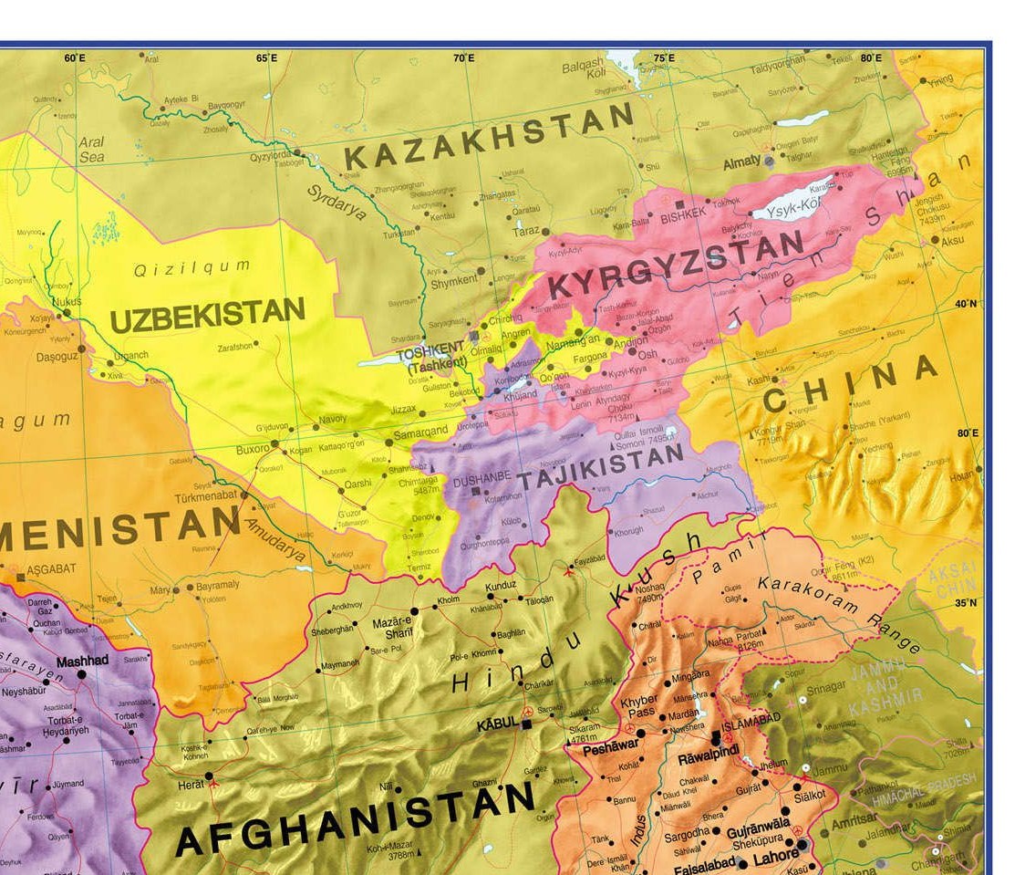
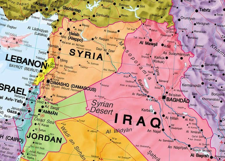
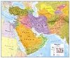
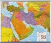
Wandkaart Middle East - Midden Oosten, 120 x 100 cm | Maps International (9781910378120)
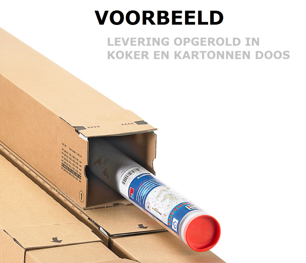
Geplastificeerd

- ISBN / CODE: 9781910378120
- Schaal: 1:4350000
- Uitgever: Maps International
- Soort: Wandkaart van continenten
- Taal: Engels
- Hoogte: 100.0 cm
- Breedte: 120.0 cm
- Uitvoering: Geplastificeerd
- Schrijf als eerste een review
-
€ 37,95
Leverbaar in 3 - 5 werkdagen in huis in Nederland Levertijd Belgie
Gratis verzending in Nederland vanaf €35,-

Beschrijving
Dit product heeft meerdere varianten:
Reviews
Geen reviews gevonden voor dit product.
Schrijf een review
Graag horen wij wat u van dit artikel vindt. Vindt u het goed, leuk, mooi, slecht, lelijk, onbruikbaar of erg handig: schrijf gerust alles op! Het is niet alleen leuk om te doen maar u informeert andere klanten er ook nog mee!
Ook interessant voor midden-oosten
-

Woordenboek Phrasebook & Dictionary
€ 9,50Woordenboeken & Taalgidsen Midden-Oosten -

Reisgids Marco Polo DE Jordanien - J
€ 18,50Reisgidsen Jordanië -

Wegenkaart - landkaart - Stadsplatte
€ 9,95Stadsplattegronden Dubai -

Reisverhaal Door het land der lemen
€ 20,00Reisverhalen Midden-Oosten -

Reisverhaal DE OOGST VAN REIZEN | Gr
€ 26,99Reisverhalen Midden-Oosten