Wegenkaart - landkaart South West Western Australia | Hema Maps (9321438001621)
- ISBN / CODE: 9321438001621
- Editie: meest recente editie
- Schaal: 1:750000
- Uitgever: Hema Maps
- Soort: Wegenkaart
- Taal: Engels
- Uitvoering: Papier
- Bindwijze: -
- Beoordeling: 3,0 ★★★★★ (1 review) Schrijf een review
-
€ 15,95
Op voorraad. Voor 17.00 uur op werkdagen besteld, morgen in huis in Nederland Levertijd Belgie
Gratis verzending in Nederland vanaf €35,-
.jpg)

Beschrijving
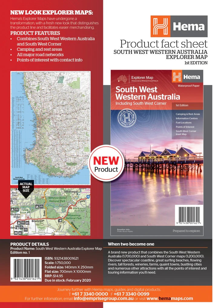
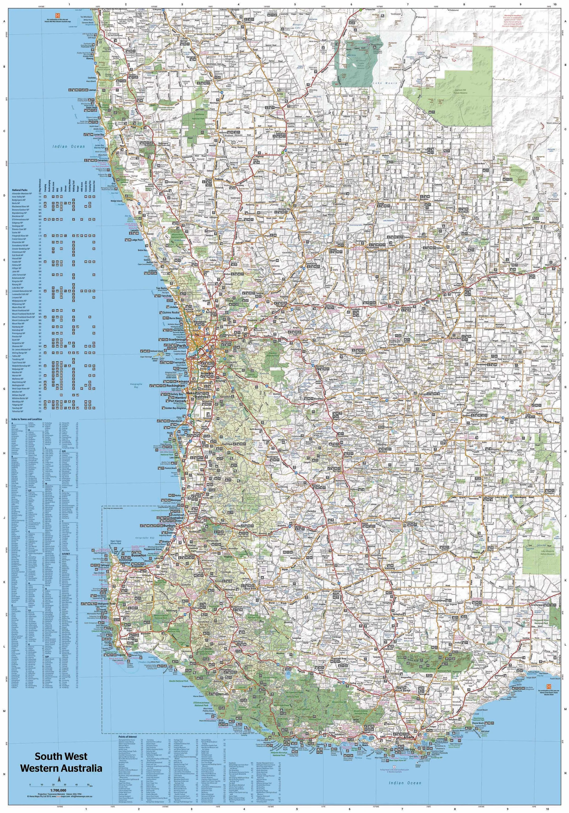
Hema's South West Western Australia Map features unequalled road and track information for this picturesque corner in Australia's largest state.
Reviews
Voor ons heel bruikbaar om de afstanden in te schatten en een totaaloverzicht te krijgen van het wegennet. Jammer dat het langer duurde dan gepland om de kaart te ontvangen. Fijn dat jullie aangaven dat het langer zou gaan duren.
★★★★★ door C. Vandergraaf 10 juli 2012Vond u dit een nuttige review? (login om te beoordelen)
Schrijf een review
Graag horen wij wat u van dit artikel vindt. Vindt u het goed, leuk, mooi, slecht, lelijk, onbruikbaar of erg handig: schrijf gerust alles op! Het is niet alleen leuk om te doen maar u informeert andere klanten er ook nog mee!
Ook interessant voor oceanie/australie/westernaustraliawestaustralie
-

Reisgids Western Australia - West Au
€ 24,95Reisgidsen Western Australia - West Australië -

Wegenkaart - landkaart South West We
€ 15,95Wegenkaarten Western Australia - West Australië -

Reisgids Experience West Coast Austr
€ 23,95Reisgidsen Western Australia - West Australië -

Wegenatlas - Campinggids 4WD + Campi
€ 34,95Campinggidsen Western Australia - West Australië -

Wegenatlas West Australia - Road & 4
€ 38,95Wegenatlassen Western Australia - West Australië