Wegenkaart - landkaart Outback New South Wales | Hema Maps (9781865006550)
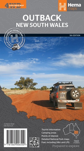
- ISBN / CODE: 9781865006550
- Schaal: 1:1100000
- Uitgever: Hema Maps
- Soort: Wegenkaart
- Serie: 4WD Explorer Map
- Taal: Engels
- Beoordeling: 5,0 ★★★★★ (1 review) Schrijf een review
-
€ 13,95
Leverbaar in 3 - 5 werkdagen in huis in Nederland Levertijd Belgie
Gratis verzending in Nederland vanaf €35,-

.gif)
Beschrijving
Detailkaart van een deel van Australië. Zeer goed leesbaar, met naast de topografische details veel symbolen waarmee allerhande toeristische zaken worden aangeduid als campsites, nationale parken, attracties, wandelmogelijkheden etc.
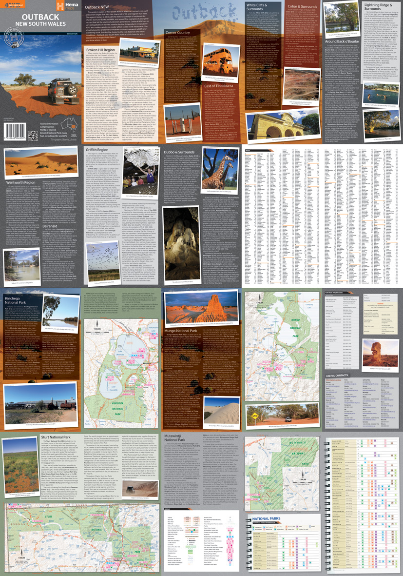
The Outback New South Wales Map features the most detailed combination of road pattern and distances ever produced for the area. The back of the map lists extensive detail on what to see, where to go, and what to do when you get there.
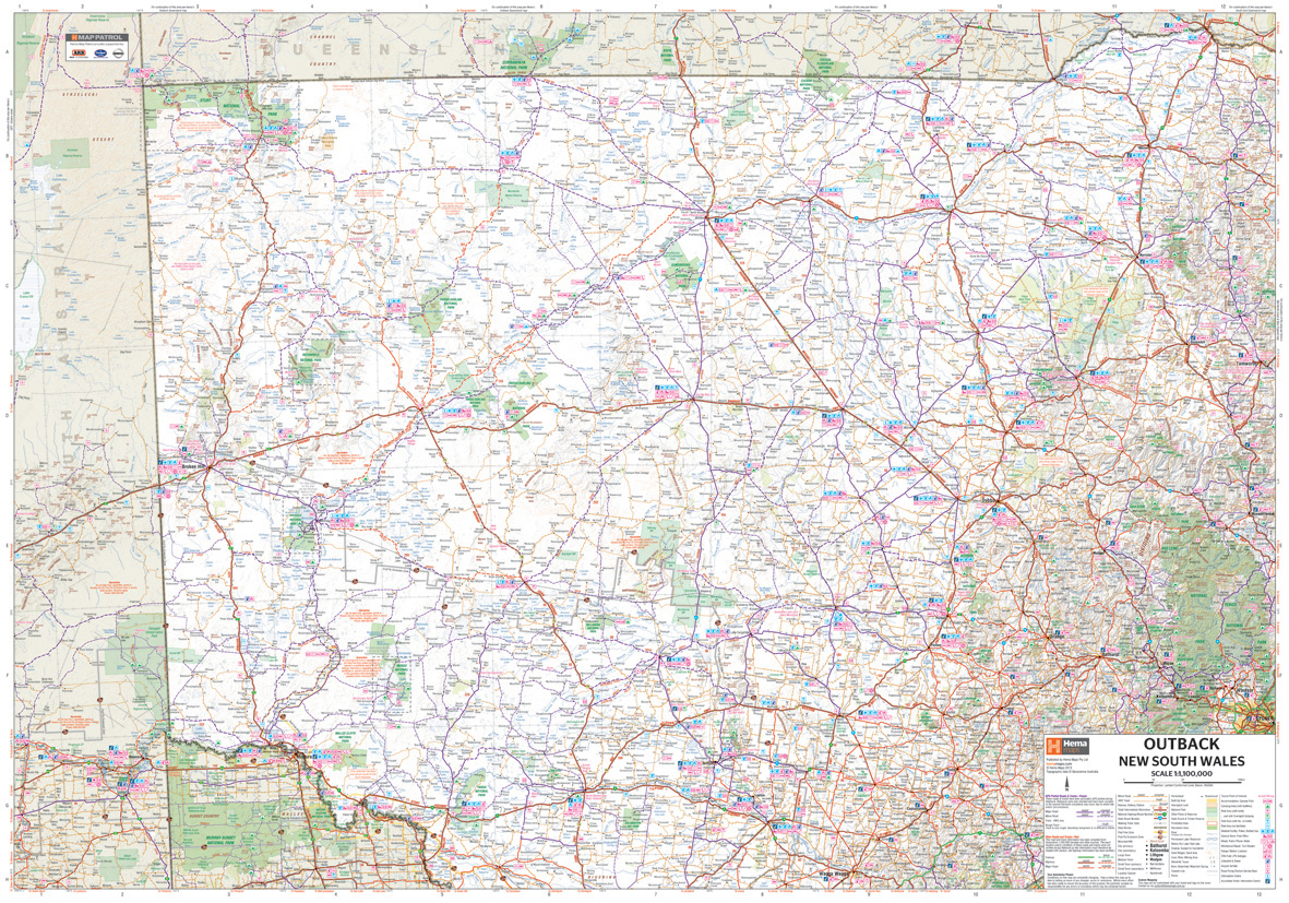
Touring map of the western part of New South Wales, from Wagga Wagga and Mildura to southern Queensland, and from Dubbo to across the border with South Australia. Road information includes minor roads and dirt tracks, most with driving distances, and places with different types of fuel supplies are indicated. Symbols also show accommodation facilities, campsites and bush camping areas, rest areas with various facilities, general stores and eateries, places of interest, etc. Topography is shown by altitude colouring, with names of hills and peaks, seasonal lakes, areas prone to flooding, etc. Latitude/longitude grid is at 1º intervals. On the reverse there are enlargements for four national parks: Kinchega, Mungo, Mutawintji, and Sturt. Also included are a table of facilities in the national parks, lists of useful addresses, and general notes on the region.
Reviews
duidelijke streekkaart; snelle service
★★★★★ door Anneke Dekker 22 augustus 2012Vond u dit een nuttige review? (login om te beoordelen)
Schrijf een review
Graag horen wij wat u van dit artikel vindt. Vindt u het goed, leuk, mooi, slecht, lelijk, onbruikbaar of erg handig: schrijf gerust alles op! Het is niet alleen leuk om te doen maar u informeert andere klanten er ook nog mee!
Ook interessant voor oceanie/australie/victorianewsouthwaleszuidoostaustralie
-

Wegenkaart - landkaart Explorer Map
€ 15,95Wegenkaarten Victoria - New South Wales Zuidoost Australië -

Reisgids Experience East Coast Austr
€ 23,95Reisgidsen Queensland - Noordoost Australië -

Reisgids East Coast Australia | Lone
€ 22,50Reisgidsen Queensland - Noordoost Australië -

Wegenkaart - landkaart Melbourne and
€ 11,50Wegenkaarten Victoria - New South Wales Zuidoost Australië -

Wegenatlas Victoria High Country Atl
€ 46,95Wegenatlassen Victoria - New South Wales Zuidoost Australië