Wandelkaart Lake Placid, High Peaks: Adirondack Park Map | National Geographic (9781566953573)
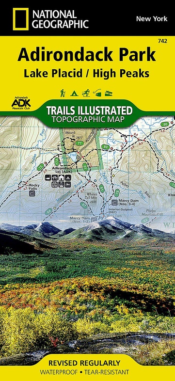
- ISBN / CODE: 9781566953573
- Editie: 2016
- Uitgever: National Geographic
- Soort: Wandelkaart
- Serie: Trails Illustrated Topographic Maps
- Taal: Engels
- Bindwijze: -
- Uitvoering: Scheur- en watervast
- Schrijf als eerste een review
-
€ 16,95
Dit artikel is (tijdelijk) niet leverbaar
Beschrijving
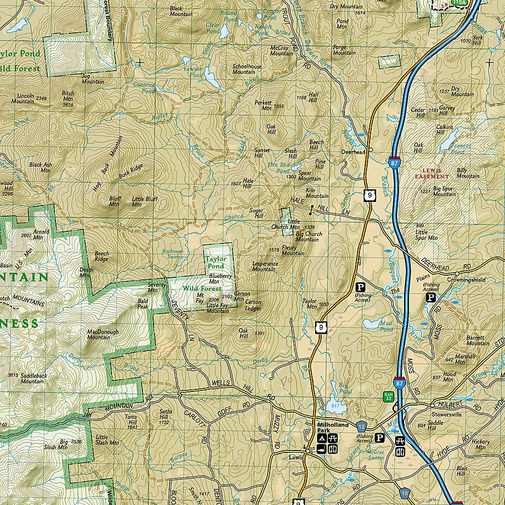
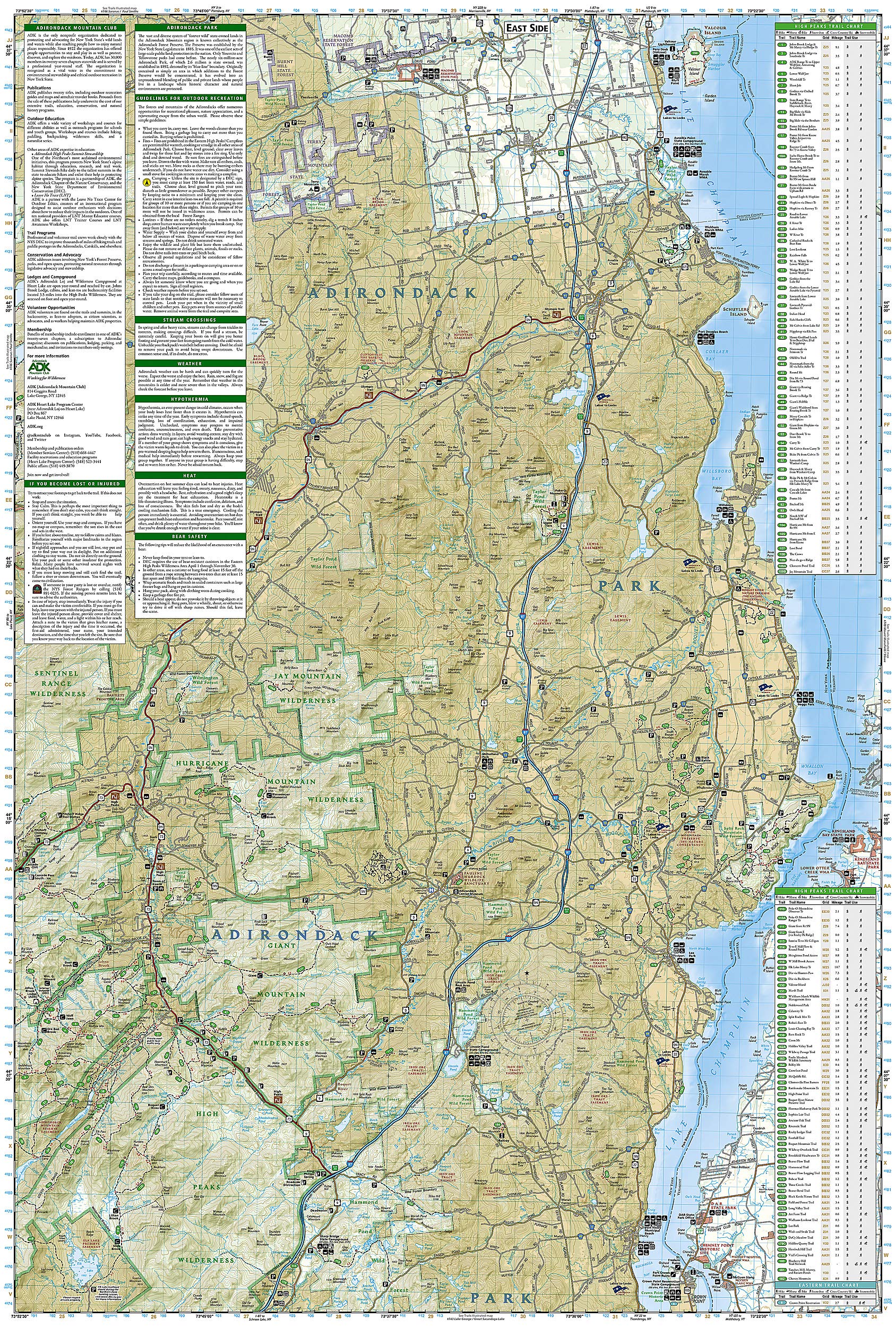
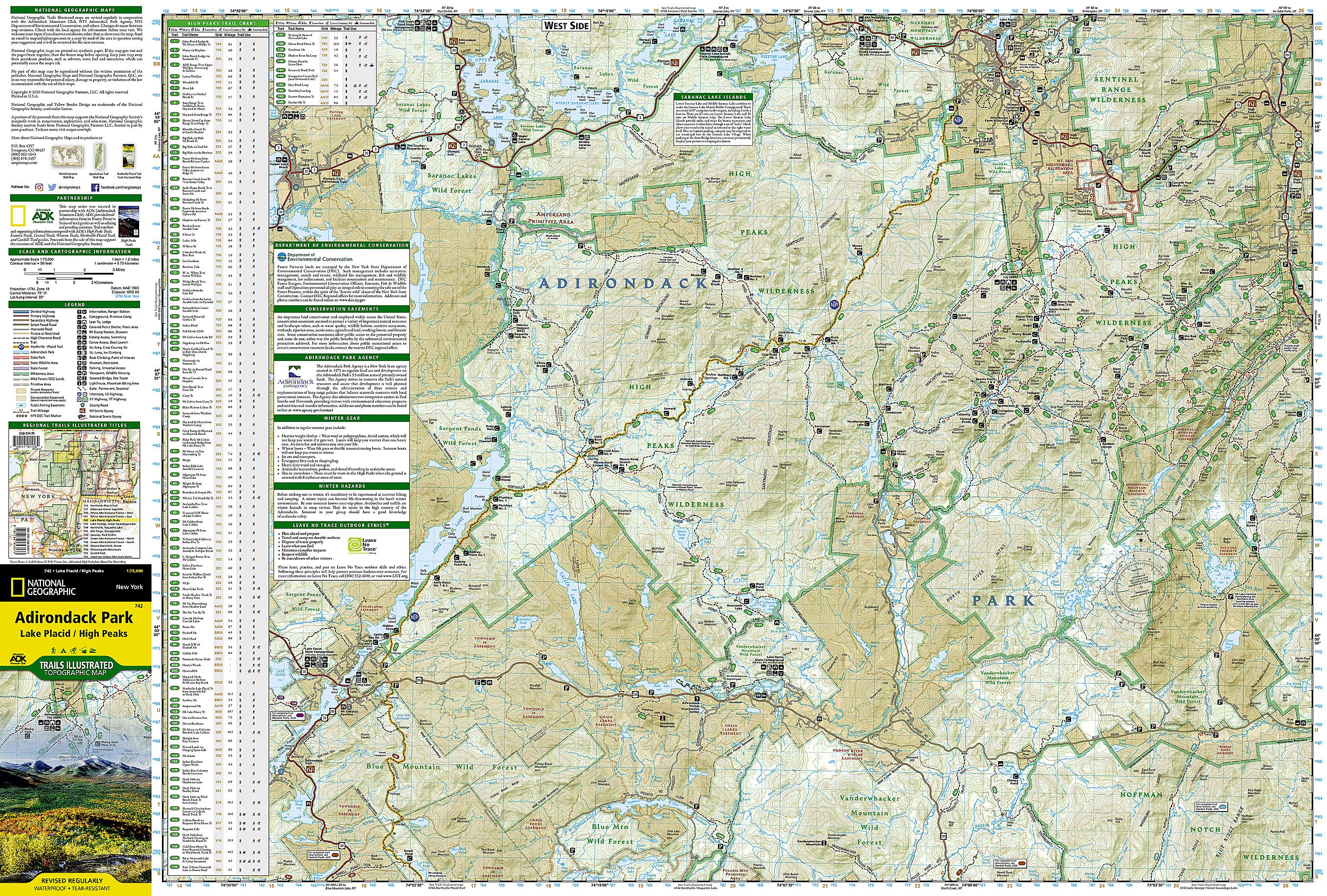
National Geographic's Trails Illustrated Maps are the most detailed and up-to-date topographic recreation maps available for US National Parks, National Forests and other popular outdoor recreation areas. A necessity for exploring the outdoors, each map is printed on waterproof, tear-resistant material. They also contain key safety and contact information, GPS and compass coordinates, Leave No Trace ethical guidelines and hundreds of points-of-interest, including scenic viewpoints, campgrounds, boat launches, swimming areas, marine sanctuaries and wildlife refuges.
Reviews
Geen reviews gevonden voor dit product.
Schrijf een review
Graag horen wij wat u van dit artikel vindt. Vindt u het goed, leuk, mooi, slecht, lelijk, onbruikbaar of erg handig: schrijf gerust alles op! Het is niet alleen leuk om te doen maar u informeert andere klanten er ook nog mee!
Ook interessant voor noord-amerika/verenigde-staten-van-amerika/nationale-parken
-

Natuurgids Adventure Set Yellowstone
€ 18,50Natuurgidsen Nationale Parken Verenigde Staten van Amerika -

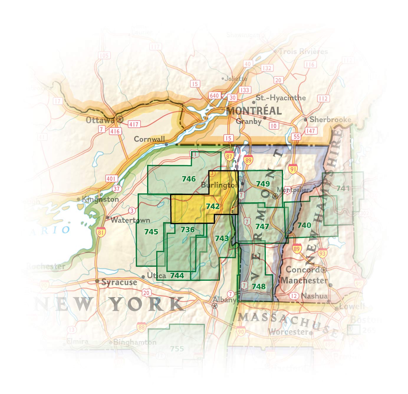
Wandelkaart - Topografische kaart 74
€ 17,95Topografische kaarten Nationale Parken Verenigde Staten van Amerika -

Wegenkaart - landkaart Planning Map
€ 8,95Wegenkaarten Nationale Parken Verenigde Staten van Amerika -

Reisgids Moon Olympic Peninsula | Mo
€ 22,50Reisgidsen Nationale Parken Verenigde Staten van Amerika -

Kalender Verjaardagskalender Amerika
€ 16,95Kalenders Nationale Parken Verenigde Staten van Amerika