Wandelkaart - Topografische kaart 772 Delmarva Peninsula | National Geographic (9781566954907)
- ISBN / CODE: 9781566954907
- Schaal: 1:250000
- Uitgever: National Geographic
- Soort: Topografische kaart, Wandelkaart
- Taal: Engels
- Bindwijze: -
- Uitvoering: -
- Schrijf als eerste een review
-
€ 17,95
Dit artikel is (tijdelijk) niet leverbaar
Beschrijving
Prachtige geplastificeerde kaart van het bekende nationaal park. Met alle recreatieve voorzieningen als campsites, maar ook met topografische details en wandelroutes ed. Door uitgekiend kleurgebruik zeer prettig in gebruik. Scheur en watervast!
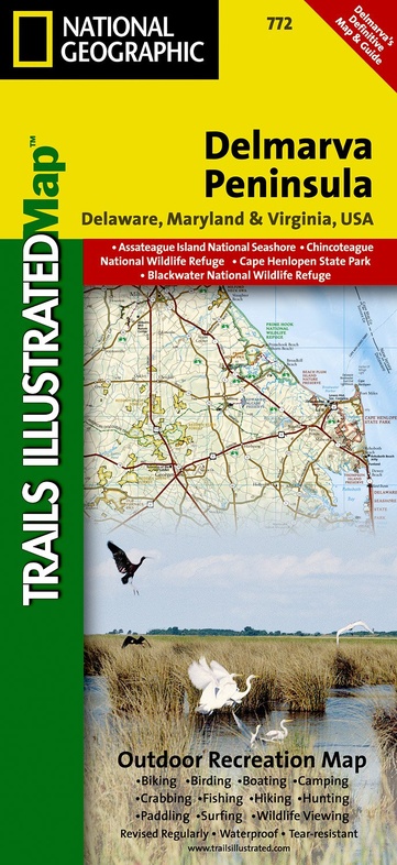
The new Delmarva Trails Illustrated regional topographic recreation map covers all major recreation areas for the Peninsula and Chesapeake Bay region. This beautifully designed map includes all state parks, state wildlife areas, national wildlife areas and key recreation access points. Locations for camping, boating, canoeing/kayaking, hunting, biking/greenways, and fishing are displayed. Highlights include Blackwater and Chincoteague National Wildlife Refuges, Assateague Island National Seashore, Cape Henlopen State Park, and Maryland's Eastern Shore. This map will be an essential trip planning tool, road map, and on-the-ground guide for accessing Delmarva Peninsula's public lands. Includes UTM grids for use with your GPS unit.
Reviews
Geen reviews gevonden voor dit product.
Schrijf een review
Graag horen wij wat u van dit artikel vindt. Vindt u het goed, leuk, mooi, slecht, lelijk, onbruikbaar of erg handig: schrijf gerust alles op! Het is niet alleen leuk om te doen maar u informeert andere klanten er ook nog mee!
Ook interessant voor noord-amerika/verenigde-staten-van-amerika/nationale-parken
-

Wandelgids 1508 Topographic Map Guid
€ 16,95Wandelgidsen Oostkust USA - Atlantic Coast -

Reisgids Fodor's the Complete Guide
€ 26,95Reisgidsen Nationale Parken Verenigde Staten van Amerika -

Vogelgids Georgia USA | Waterford Pr
€ 9,95Vogelgidsen Oostkust USA - Atlantic Coast -

Wegenkaart - landkaart 09 USA Zuid-O
€ 13,95Wegenkaarten Zuid USA - Deep South -

Wandelkaart Lake Placid, High Peaks:
€ 16,95Wandelkaarten Nationale Parken Verenigde Staten van Amerika