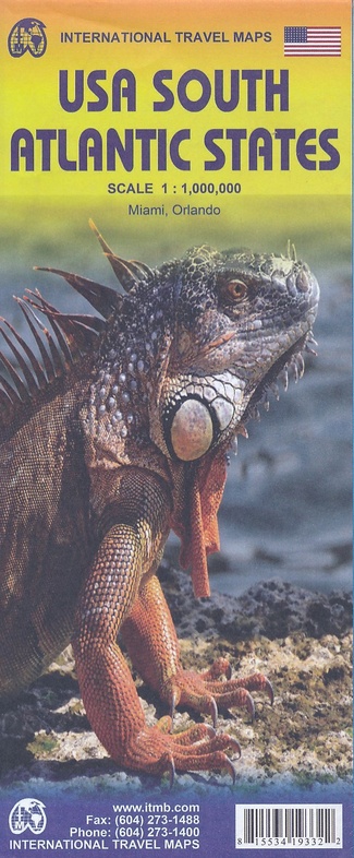
Wegenkaart - landkaart USA South - Atlantic States | ITMB (9781553419334)
Philadelphia tot Miami
- ISBN / CODE: 9781553419334
- Schaal: 1:1000000
- Uitgever: ITMB
- Soort: Wegenkaart
- Taal: Engels
- Schrijf als eerste een review
-
€ 13,95
Op voorraad. Voor 17.00 uur op werkdagen besteld, morgen in huis in Nederland Levertijd Belgie
Gratis verzending in Nederland vanaf €35,-

Beschrijving
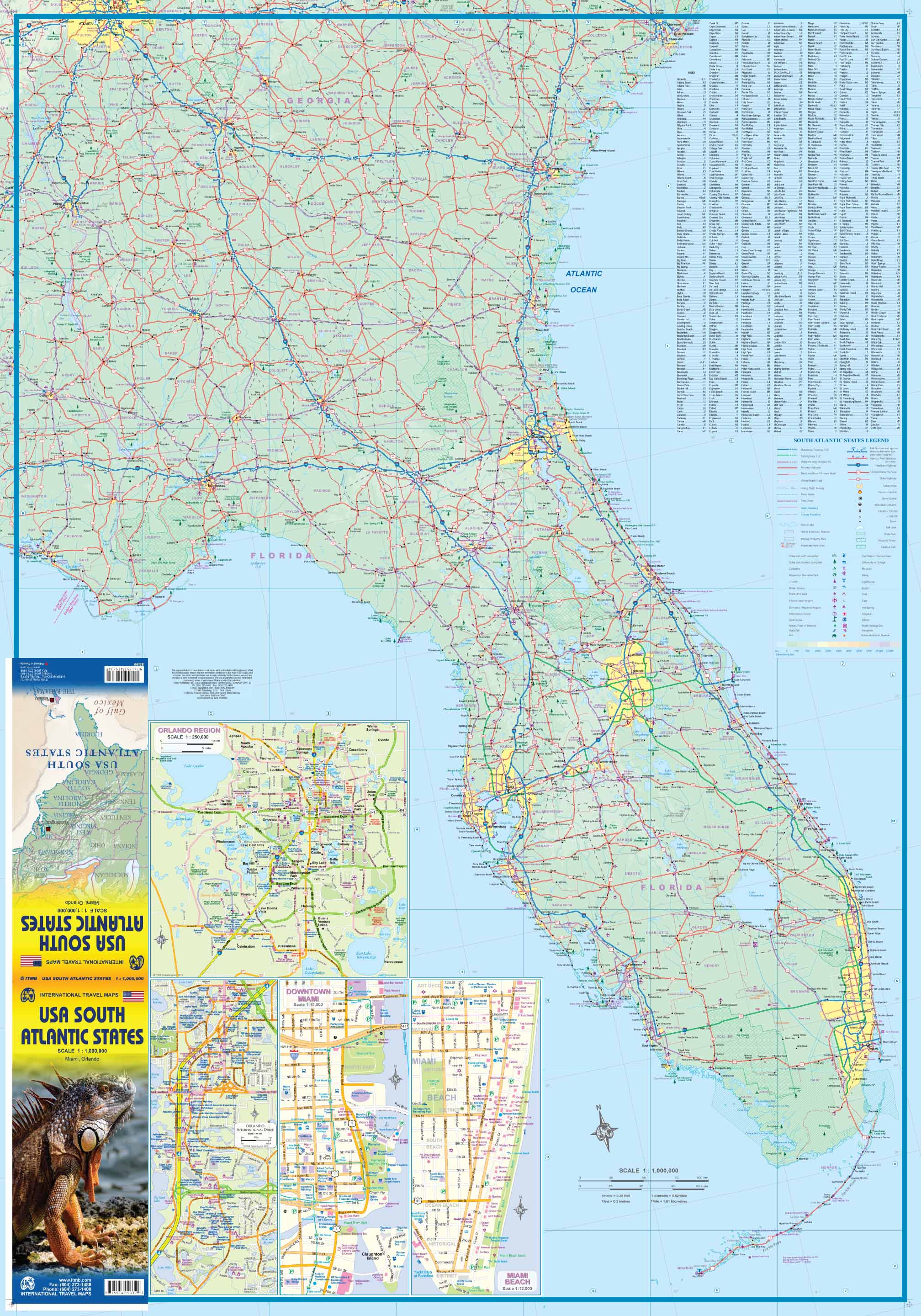
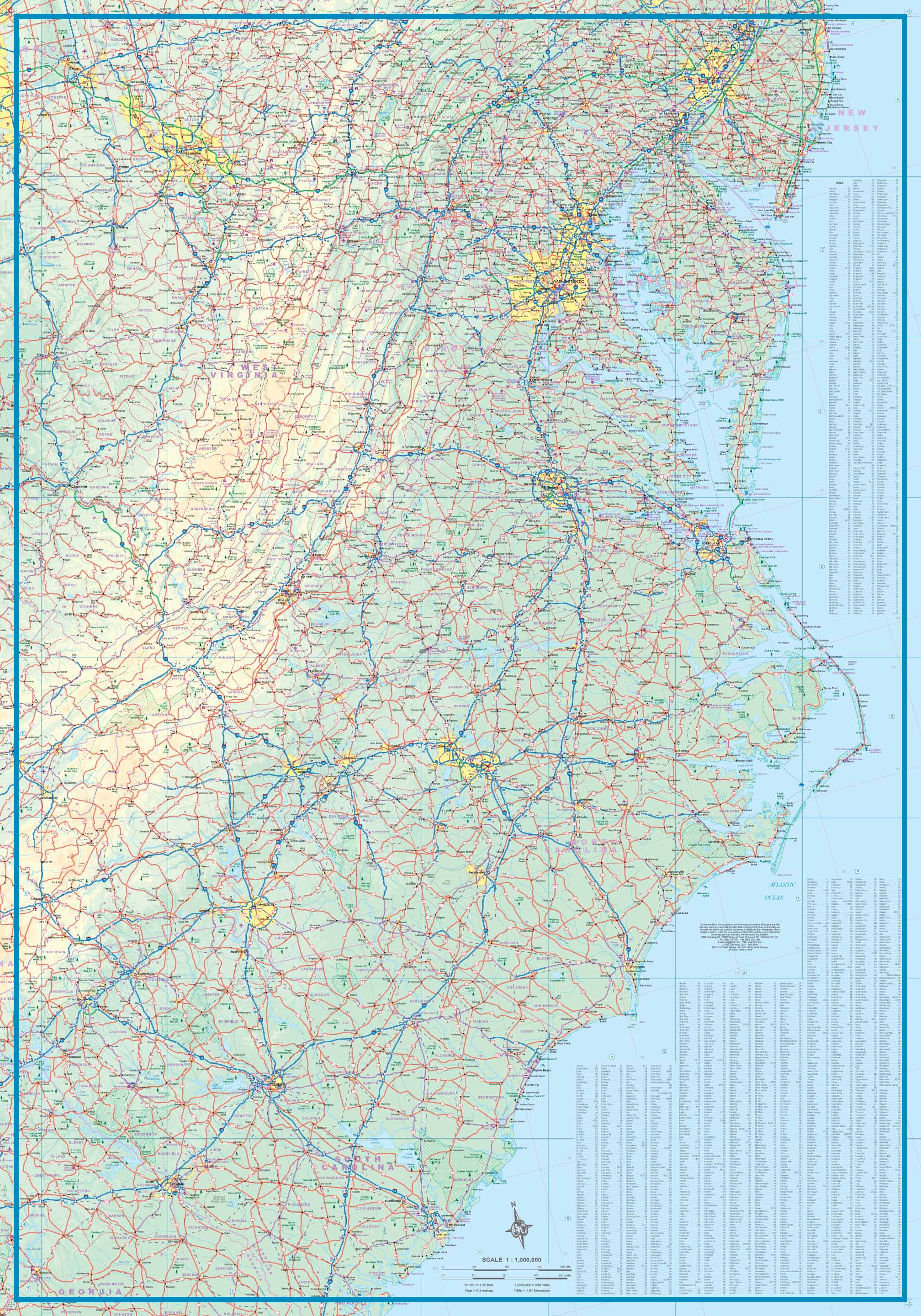
Een degelijke kaart met aanduidingen van o.a. nationale parken, vliegveld, benzinepomp, dirt-roads van de Oosttkust van de USA van Philadelphia tot Florida . Als overzichtskaart goed te gebruiken.
We call the map the Atlantic States guardedly for obvious reasons. First, the northeastern Atlantic States are missing and second, Florida's Caribbean coastline is included. Also, to cover an area so long, we had to go further inland than 'just' the coast, so all of Pennsylvania and West Virginia are included. The area of coverage of side A is Philadelphia/Pittsburg south to Augusta and Charleston. Side B continues south to the southernmost portion of Florida and west to Panama City. Inset maps of Orlando and Miami are included on this side as well. Both road and rail connections are shown, and distances between communities shown. Places of touristic interest are included, albeit suitable to the scale. An extensive place name index is included.
Reviews
Geen reviews gevonden voor dit product.
Schrijf een review
Graag horen wij wat u van dit artikel vindt. Vindt u het goed, leuk, mooi, slecht, lelijk, onbruikbaar of erg handig: schrijf gerust alles op! Het is niet alleen leuk om te doen maar u informeert andere klanten er ook nog mee!
Ook interessant voor noord-amerika/verenigde-staten-van-amerika/florida
-

Wandelgids 1509 Topographic Map Guid
€ 16,95Wandelgidsen Oostkust USA - Atlantic Coast -

Vogelgids Georgia USA | Waterford Pr
€ 9,95Vogelgidsen Oostkust USA - Atlantic Coast -

Wegenkaart - landkaart Guide Map Nor
€ 12,95Wegenkaarten Oostkust USA - Atlantic Coast -

Reisgids Florida Keys | Moon
€ 23,95Reisgidsen Florida -

Fotoboek Florida | Amber Books
€ 13,95Fotoboeken Florida