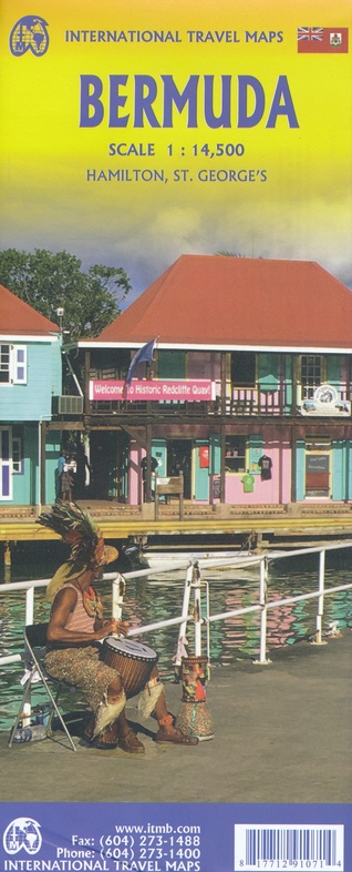
Wegenkaart - landkaart Bermuda | ITMB (9781771291071)
- ISBN / CODE: 9781771291071
- Editie: 2023
- Druk: 6
- Schaal: 1:14500
- Uitgever: ITMB
- Soort: Wegenkaart
- Taal: Engels
- Uitvoering: Papier
- Bindwijze: -
- Schrijf als eerste een review
-
€ 13,95
Op voorraad. Voor 17.00 uur op werkdagen besteld, morgen in huis in Nederland Levertijd Belgie
Gratis verzending in Nederland vanaf €35,-

Beschrijving
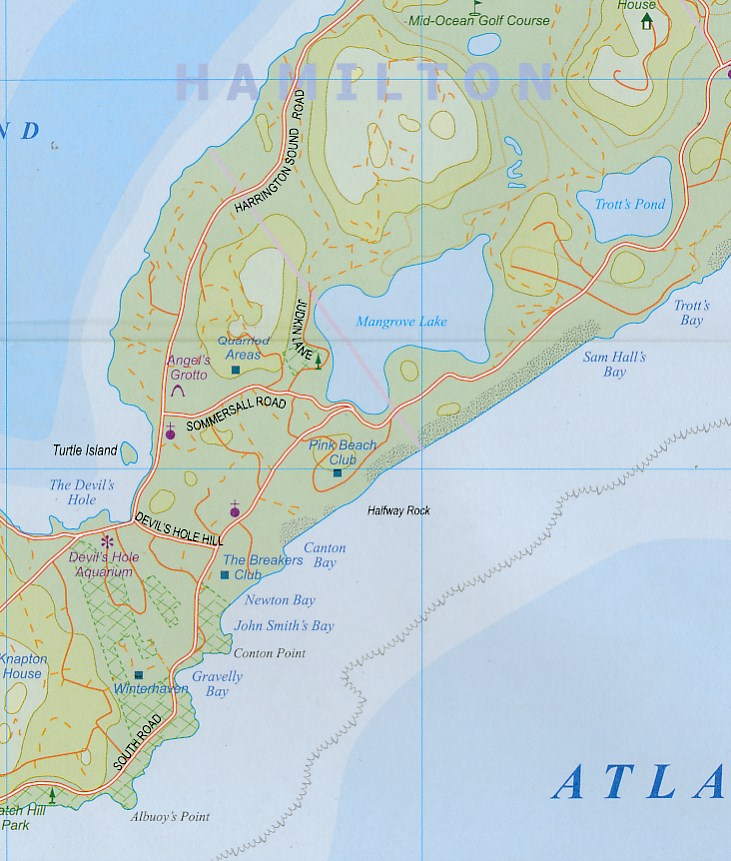
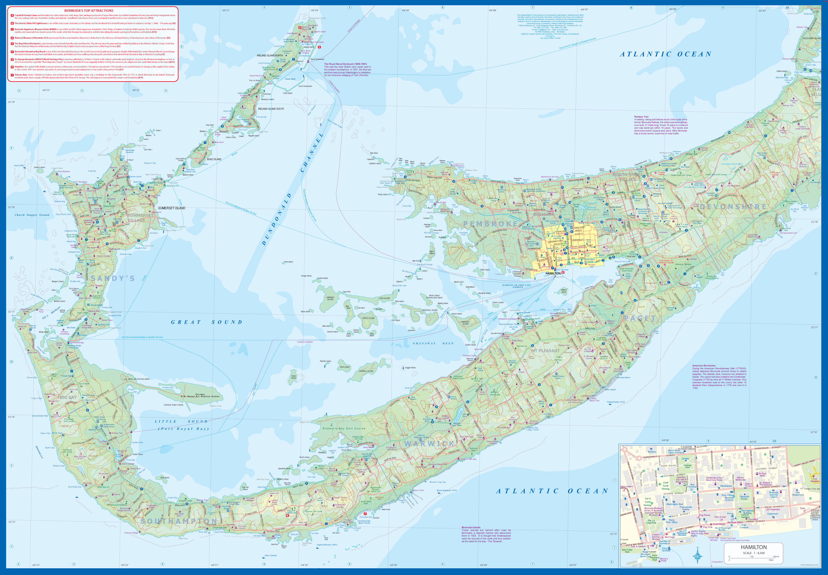
Een degelijke kaart met aanduidingen van o.a. nationale parken, vliegveld, benzinepomp, dirt-roads. Als overzichtskaart goed te gebruiken.
Reviews
Geen reviews gevonden voor dit product.
Schrijf een review
Graag horen wij wat u van dit artikel vindt. Vindt u het goed, leuk, mooi, slecht, lelijk, onbruikbaar of erg handig: schrijf gerust alles op! Het is niet alleen leuk om te doen maar u informeert andere klanten er ook nog mee!
Ook interessant voor midden-amerika/bermuda
-

Wegenkaart - landkaart Bermuda | ITM
€ 13,95Wegenkaarten Bermuda -

Vogelgids Field Guide to Birds of th
€ 34,95Vogelgidsen Aruba -

Reisgids Caribbean Islands | Lonely
€ 23,95Reisgidsen Antigua -

Reisgids Bermuda | Moon Travel Guide
€ 20,95Reisgidsen Bermuda -

Reisgids Mini Rough Guide Caribbean
€ 11,50Reisgidsen Yucatan