Wandelkaart Tour & Trail Alpujarras | Discovery Walking Guides (9781782750741)
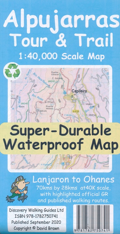
- ISBN / CODE: 9781782750741
- Schaal: 1:40000
- Uitgever: Discovery Walking Guides
- Soort: Wandelkaart
- Serie: Tour & Trail
- Taal: Engels
- Uitvoering: scheur- en watervast
- Beoordeling: 4,7 ★★★★★ ★★★★★ (3 reviews) Schrijf een review
-
€ 15,95
Op voorraad. Voor 17.00 uur op werkdagen besteld, morgen in huis in Nederland Levertijd Belgie
Gratis verzending in Nederland vanaf €35,-
Beschrijving
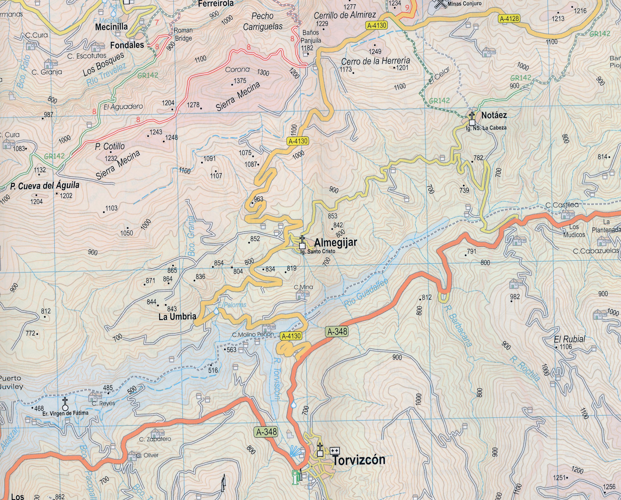
Scheur- en watervaste wandelkaart van de Alpujarras met hoogtelijnen en graden.
Reviews
De kaart lijkt mij erg nuttig; ik kan het natuurlijk pas beoordelen als ik ter plaatse ben en de kaart heb gebruikt. Ik had enige moeite om het bergdorpje Ferreirola, waar we verblijven, te ontdekken. Naast de kaart zijn enkele gidsen van belang, die ik hierna ga bestellen.
★★★★★ door Suus Hubregtse 11 januari 2015Vond u dit een nuttige review? (login om te beoordelen)
Goede, overzichtelijke kaart. Stevig materiaal, schuurt niet zo snel. (Op de site goed te vinden welke we nodig hadden, bleek te kloppen).
★★★★★ door Lucas Pouwels 26 februari 2014Vond u dit een nuttige review? (login om te beoordelen)
Top, zeer tevreden
★★★★★ door Will 14 maart 2013Vond u dit een nuttige review? (login om te beoordelen)
Schrijf een review
Graag horen wij wat u van dit artikel vindt. Vindt u het goed, leuk, mooi, slecht, lelijk, onbruikbaar of erg handig: schrijf gerust alles op! Het is niet alleen leuk om te doen maar u informeert andere klanten er ook nog mee!
Ook interessant voor europa/spanje/sierranevada
-

Reisgids Handbook Granada & Sierra N
€ 12,50Reisgidsen Andalusië - Zuid Spanje -

Wandelkaart La Alpujarras - Alpujarr
€ 12,95Wandelkaarten Andalusië - Zuid Spanje -

Wandelkaart Valle del Poqueira y Tre
€ 9,95Wandelkaarten ♦ Sierra Nevada - Alpujarras -

Wandelkaart Sierra Nevada en Alpujar
€ 16,95Wandelkaarten Andalusië - Zuid Spanje -

Wandelkaart Parques Nacionales Sierr
€ 29,95Wandelkaarten ♦ Sierra Nevada - Alpujarras