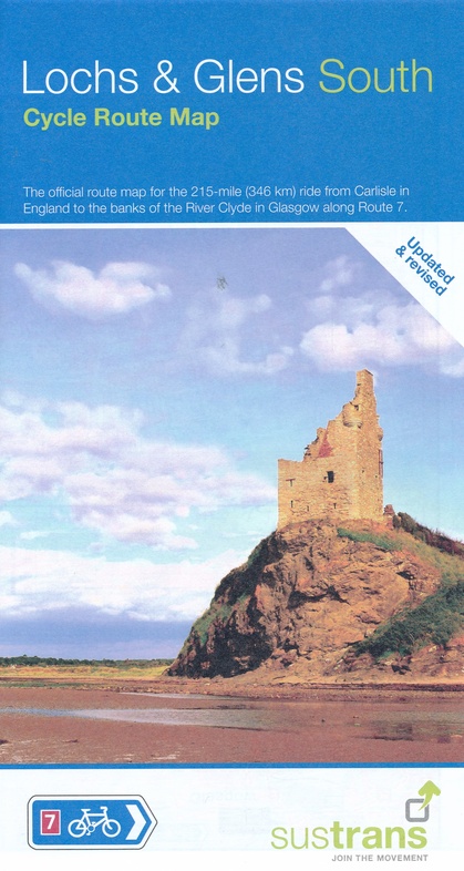
Fietskaart Cycle Route Map Lochs & Glens South | Sustrans (9781910845462)
- ISBN / CODE: 9781910845462
- Schaal: 1:110000
- Uitgever: Sustrans
- Soort: Fietskaart
- Serie: Cycle Route Map
- Taal: Engels
- Bindwijze: -
- Uitvoering: -
- Schrijf als eerste een review
-
€ 16,95
Uitverkocht, nooit meer leverbaar
.jpg)
.jpg)
.jpg)
Beschrijving
Het is niet een heel overzichtelijke kaart, het zijn juist blokken van een deel van de route waarop deze staat ingetekend. Daarin juist wel heel goed met handige stedenkaarten en route profielen. Eigenlijk voor de route als zodanig onmisbaar, je mist alleen het overzicht een beetje.
- National Route 7 between Carlisle and Glasgow
Reviews
Geen reviews gevonden voor dit product.
Schrijf een review
Graag horen wij wat u van dit artikel vindt. Vindt u het goed, leuk, mooi, slecht, lelijk, onbruikbaar of erg handig: schrijf gerust alles op! Het is niet alleen leuk om te doen maar u informeert andere klanten er ook nog mee!
Ook interessant voor europa/schotland/overig-zuid
-

Wandelkaart - Topografische kaart 34
€ 19,50Topografische kaarten Lowlands | Schotse Laaglanden en grenzen -

Wandelgids Southern Uplands | Pocket
€ 10,50Wandelgidsen Lowlands | Schotse Laaglanden en grenzen -

Wandelkaart - Topografische kaart 07
€ 19,50Topografische kaarten Lowlands | Schotse Laaglanden en grenzen -

Wandelgids Walking on Arran | Cicero
€ 23,95Wandelgidsen Lowlands | Schotse Laaglanden en grenzen -

Wandelkaart - Topografische kaart 07
€ 19,50Topografische kaarten Lowlands | Schotse Laaglanden en grenzen