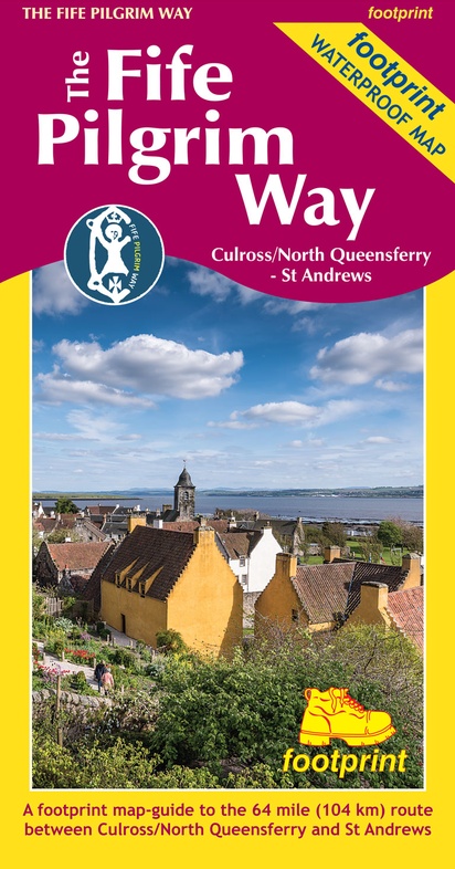
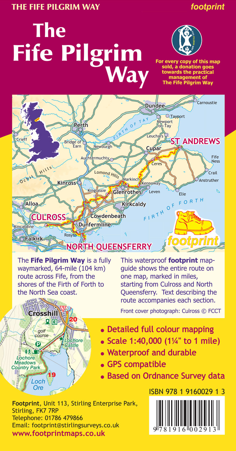
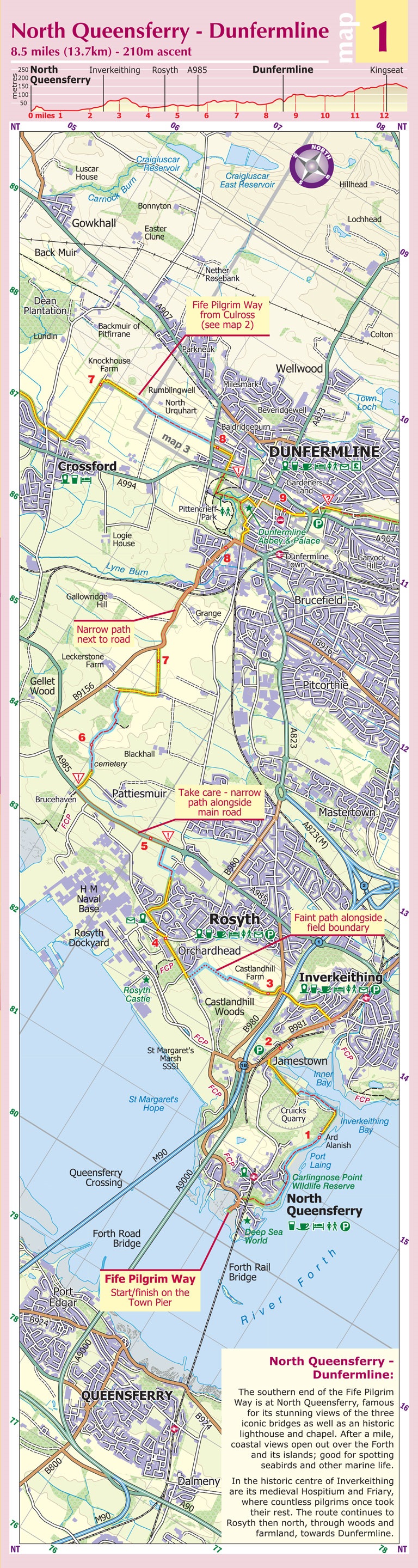
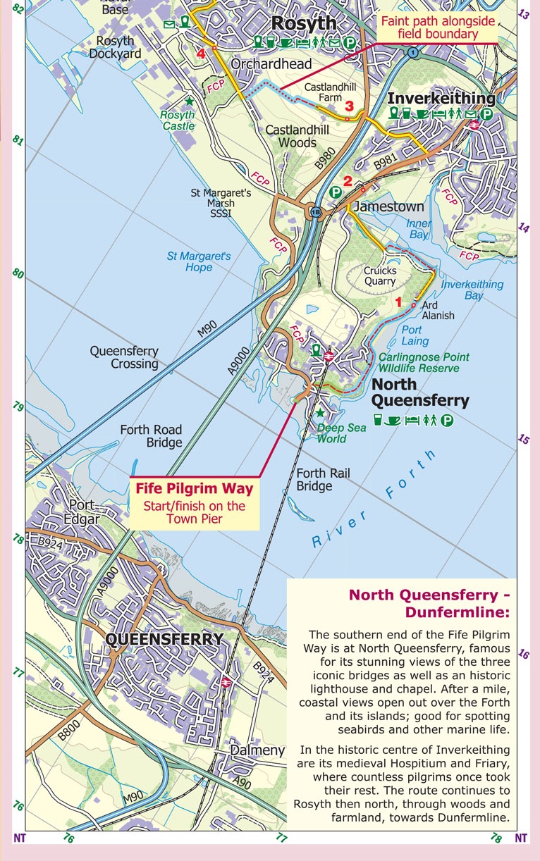
Wandelkaart The Fife Pilgrim Way | Footprint maps (9781916002913)
Culross/North Queensferry to St Andrews 104 km
- ISBN / CODE: 9781916002913
- Editie: 2019
- Schaal: 1:40000
- Uitgever: Footprint maps
- Soort: Wandelkaart
- Taal: Engels
- Bindwijze: -
- Uitvoering: Scheur- en watervast
- Schrijf als eerste een review
-
€ 17,95
Leverbaar in 3 - 5 werkdagen in huis in Nederland Levertijd Belgie
Gratis verzending in Nederland vanaf €35,-
Beschrijving
Reviews
Geen reviews gevonden voor dit product.
Schrijf een review
Graag horen wij wat u van dit artikel vindt. Vindt u het goed, leuk, mooi, slecht, lelijk, onbruikbaar of erg handig: schrijf gerust alles op! Het is niet alleen leuk om te doen maar u informeert andere klanten er ook nog mee!
Ook interessant voor europa/schotland/overig-noord
-

Wandelkaart - Topografische kaart 03
€ 19,50Topografische kaarten Schotse Hooglanden & Speyside -

Wandelkaart - Topografische kaart 01
€ 19,50Topografische kaarten Schotse Hooglanden & Speyside -

Wandelkaart - Topografische kaart 01
€ 19,50Topografische kaarten Schotse Hooglanden & Speyside -

Wandelkaart - Topografische kaart 02
€ 19,50Topografische kaarten Schotse Hooglanden & Speyside -
 | Conrad Stein Verlag")
Wandelgids 43 Speyside Way - Whisky
€ 17,50Wandelgidsen Schotse Hooglanden & Speyside