Wegenkaart - landkaart Istrië - Pula | Freytag & Berndt (9783707923230)
Pula - Opatija - Koper
- ISBN / CODE: 9783707923230
- Editie: 2024
- Schaal: 1:100000
- Uitgever: Freytag & Berndt
- Soort: Wegenkaart
- Taal: Engels, Duits
- Gewicht: 134.0 g
- Uitvoering: Papier
- Bindwijze: -
- Beoordeling: 5,0 ★★★★★ (2 reviews) Schrijf een review
-
€ 14,95
Op voorraad. Voor 17.00 uur op werkdagen besteld, morgen in huis in Nederland Levertijd Belgie
Gratis verzending in Nederland vanaf €35,-
-
Overzicht wegenkaarten Dalmatische Kust - Freytag & Berndt 1:100.000
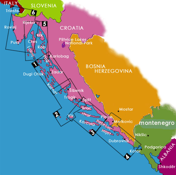
Producten op deze overzichtskaart:
Klik op een product om naar de pagina van dat product te gaan.
- Wegenkaart - landkaart Dalmatische Kust Cres - Losinj - Krk - Rab | Freytag & Berndt
- Wegenkaart - landkaart 01 Dalmatische Kust Zadar - Kornaten | Freytag & Berndt
- Wegenkaart - landkaart 02 Dalmatische Kust Sibenik - Split - Vis | Freytag & Berndt
- Wegenkaart - landkaart 03 Dalmatische Kust Brac - Hvar - Split | Freytag & Berndt
- Wegenkaart - landkaart 04 Dalmatische Kust Mljet - Dubrovnik - Medugorje | Freytag & Berndt
- Wegenkaart - landkaart Istrië - Pula | Freytag & Berndt
Overzichtskaarten
Beschrijving
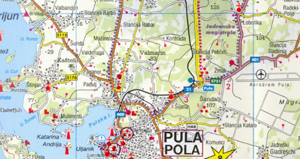
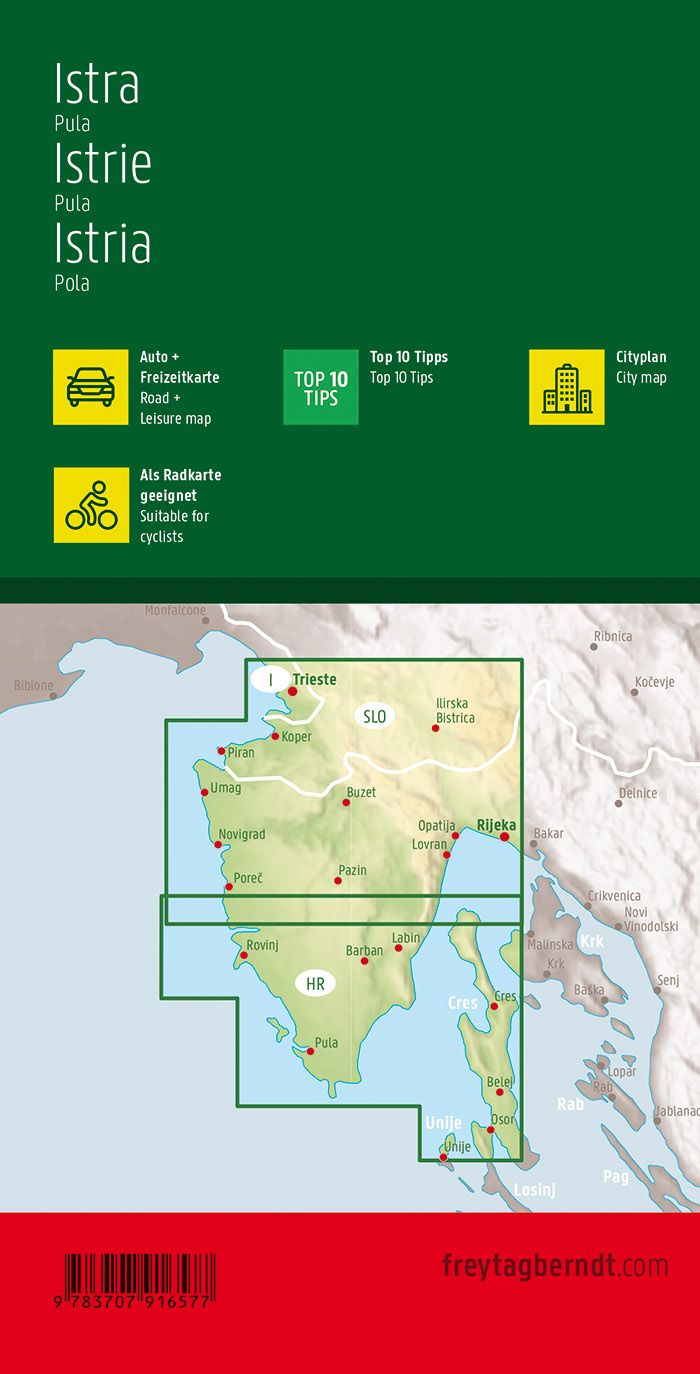
Goede wegenkaart van het schiereiland met bovendien naast de vele toeristische informatie ook nog wandelmogelijkheden. Niet de echte kaart om op te lopen, maar voor ideeen en grove lijnen zeer geschikt. Voor de gewone vakantie-vierder een uitermate goede kaart. Met register etc. Stadskaarten van street plans of centraal Opatija, Porec, Pula, Rovinj en Umag.
- Maßstab 1:100.000
- Infoguide mit Top-Tipps
- Campingplätze
- Touristenstraßen
- Ortsregister mit Postleitzahlen
- Innenstadtpläne: Umag, Poreč, Rovinj, Pula, Opatija
- Doppelseitig
- Format: 67,5 x 98 cm
- Infoguide mit Top-Tipps
Reviews
Erg tevreden over de istrië kaart, erg duidelijk op grootformaat. Alles in één oogopslag en dat kan toch echt veel lastiger op een mobile navigatiesysteem. Een kaart blijft echt onmisbaar. (zoals ook een mobile navigatiesysteem :-))
★★★★★ door bart van der wijst 4 februari 2013Vond u dit een nuttige review? (login om te beoordelen)
Geachte Mevr/Hr deze kaart heb ik voor de volgende vakantie voor volgend jaar besteld. wel hebben we dit jaar gebruik gemaakt van land/wegenkaart van Lesbos. Een hele goede en duidelijke kaart ik heb alle routes erop aangegeven die we gereden hebben,de hele kaart stond vol routes we hebben ze allemaal gereden. geweldig daarom heb ik de kaart van Istrie-Pula ook besteld voor volgend jaar. gtoet N Wijsman
★★★★★ door N Wijsman 20 september 2012Vond u dit een nuttige review? (login om te beoordelen)
Schrijf een review
Graag horen wij wat u van dit artikel vindt. Vindt u het goed, leuk, mooi, slecht, lelijk, onbruikbaar of erg handig: schrijf gerust alles op! Het is niet alleen leuk om te doen maar u informeert andere klanten er ook nog mee!
Ook interessant voor europa/kroatie/istrie
-

Wandelgids Istrië | Uitgeverij Elmar
€ 18,99Wandelgidsen Istrië -

Wandelkaart 238 Istrien - Istrië | K
€ 14,95Wandelkaarten Istrië -

Wandelkaart - Fietskaart Outdoorkart
€ 13,50Fietskaarten Istrië -

Wegenkaart - landkaart - Fietskaart
€ 12,95Fietskaarten Istrië -

Reisgids Wat & Hoe Reisgids Kroatië
€ 10,49Reisgidsen Dalmatië