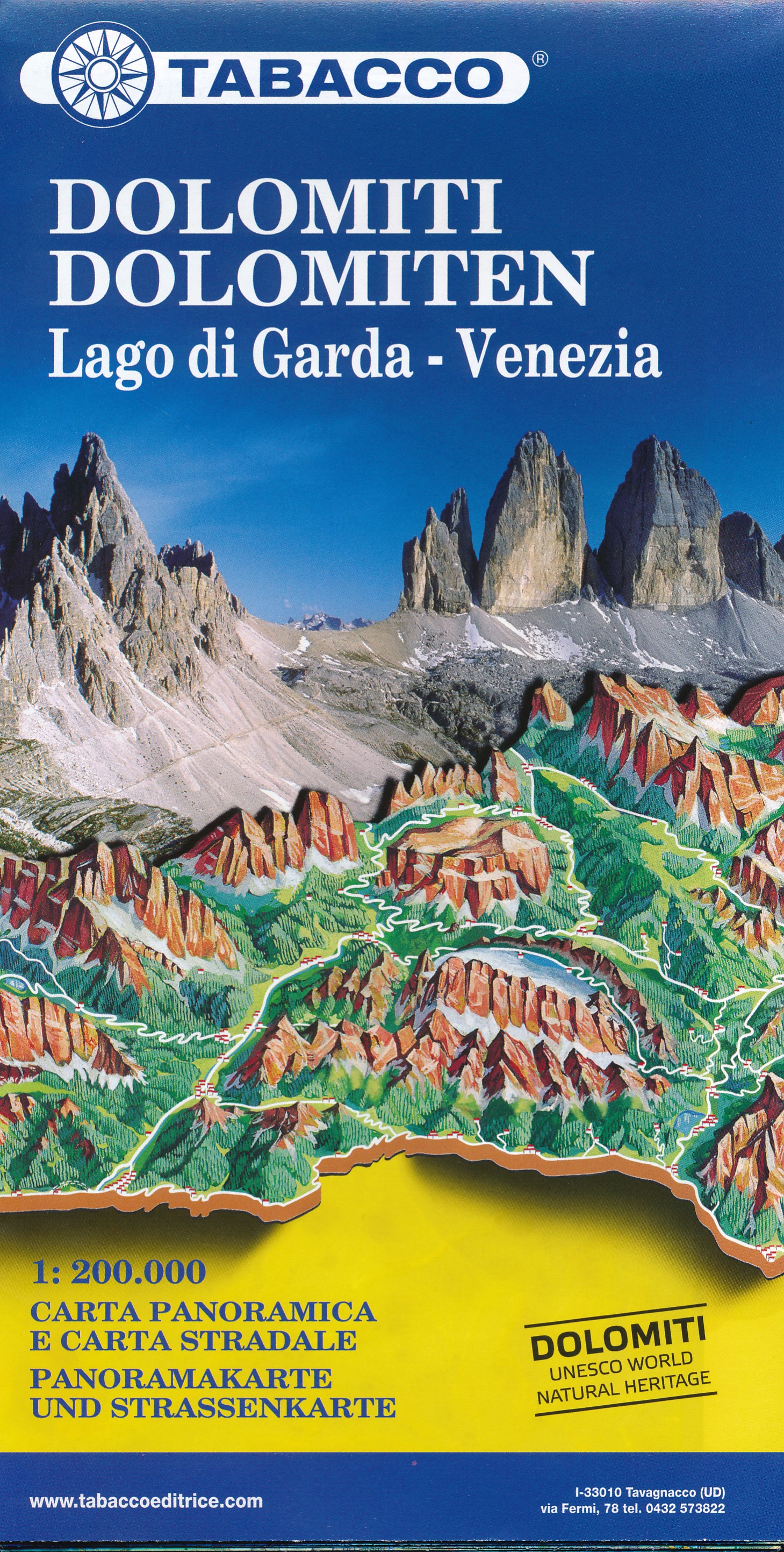
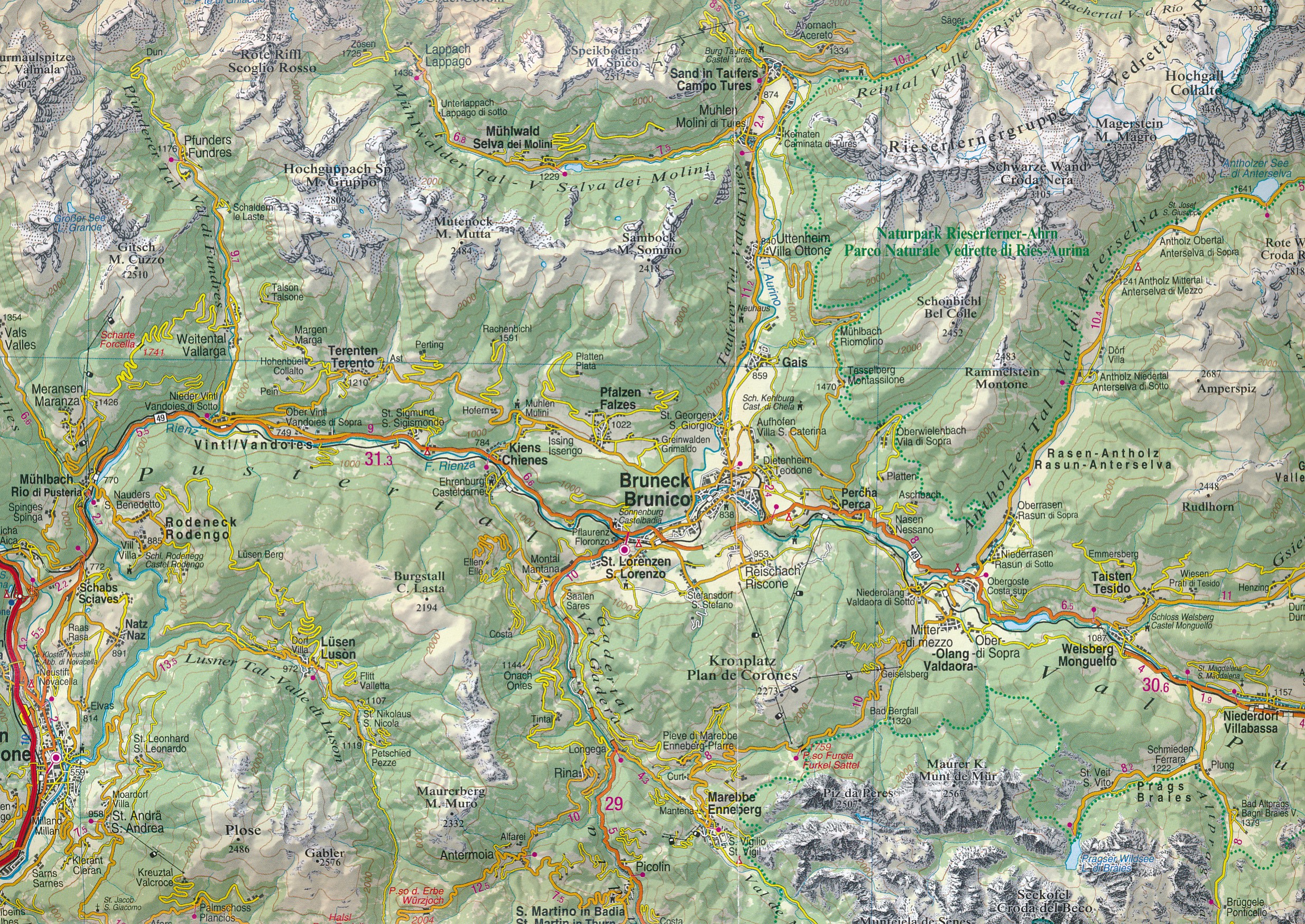
Wegenkaart - landkaart Dolomiti - Dolomieten - Lago di Garda - Venezia | Tabacco Editrice (9788883151064)
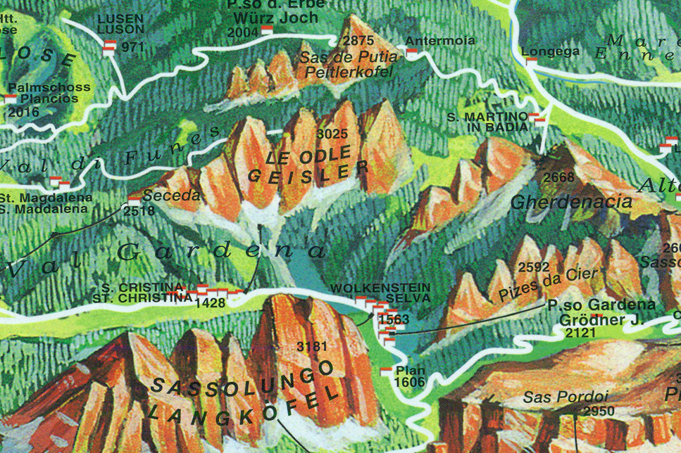
wegenkaart met op andere zijde panoramakaart
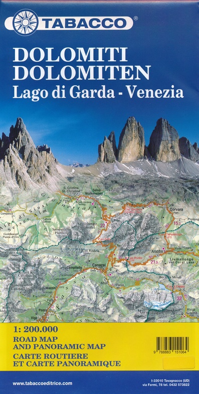
- ISBN / CODE: 9788883151064
- Editie: 2019
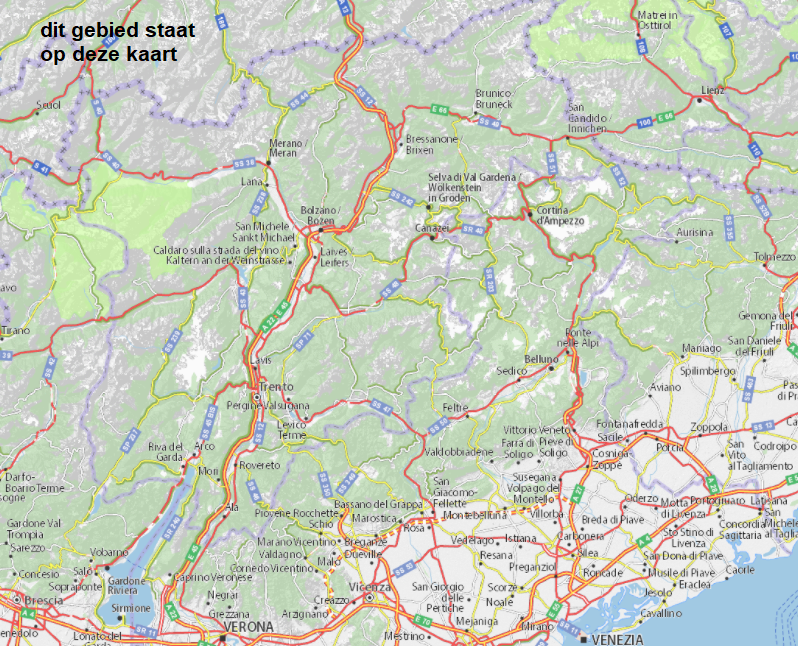
- Schaal: 1:200000
- Uitgever: Tabacco Editrice
- Soort: Wegenkaart
- Taal: Engels, Italiaans
- Bindwijze: -
- Uitvoering: Papier
- Beoordeling: 5,0 ★★★★★ (1 review) Schrijf een review
-
€ 9,95
Op voorraad. Voor 17.00 uur op werkdagen besteld, morgen in huis in Nederland Levertijd Belgie
Gratis verzending in Nederland vanaf €35,-
Beschrijving
Reviews
Bij deze firma heb ik nog nooit problemen gehad inzake juistheid en stiptheid. Zo moest het overal zijn…
★★★★★ door Cauwenbergh Ghislaine 28 juni 2023 | Heeft dit artikel gekochtVond u dit een nuttige review? (login om te beoordelen)
Schrijf een review
Graag horen wij wat u van dit artikel vindt. Vindt u het goed, leuk, mooi, slecht, lelijk, onbruikbaar of erg handig: schrijf gerust alles op! Het is niet alleen leuk om te doen maar u informeert andere klanten er ook nog mee!
Ook interessant voor europa/italie/gardameer
-

Fietsgids Bikeline Radfernweg Münche
€ 17,50Fietsgidsen Duitse Alpen gebied -

Fietskaart RK-STIR Bikeline Radkarte
€ 8,95Fietskaarten Zuid-Tirol | SüdTirol | Alto Adige -

Campergids Mit dem Wohnmobil Oberita
€ 32,95Campergidsen Italiaanse Alpen -

Wegenkaart - landkaart 562 Noordoost
€ 11,95Wegenkaarten Zuid-Tirol | SüdTirol | Alto Adige -

Wandelgids Hüttenwandern Dolomiten |
€ 21,95Wandelgidsen Zuid-Tirol | SüdTirol | Alto Adige