Wegenatlas The Wild Atlantic Way Ierland | Xploreit Maps (9780955265594)
The essential guide to driving Ireland's Atlantic coast
- ISBN / CODE: 9780955265594
- Editie: 2023
- Aantal blz.: 243
- Schaal: 1:126720
- Uitgever: Xploreit Maps
- Soort: Wegenatlas
- Taal: Engels
- Hoogte: 27.2 cm
- Breedte: 17.0 cm
- Dikte: 1.4 cm
- Uitvoering: -
- Bindwijze: RIngband
- Druk: 2
- Beoordeling: 4,5 ★★★★★ ★★★★★ (2 reviews) Schrijf een review
-
€ 24,95
Op voorraad. Voor 17.00 uur op werkdagen besteld, morgen in huis in Nederland Levertijd Belgie
Gratis verzending in Nederland vanaf €35,-
Beschrijving
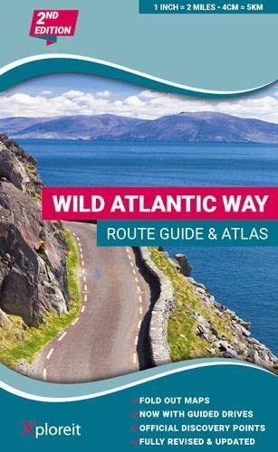
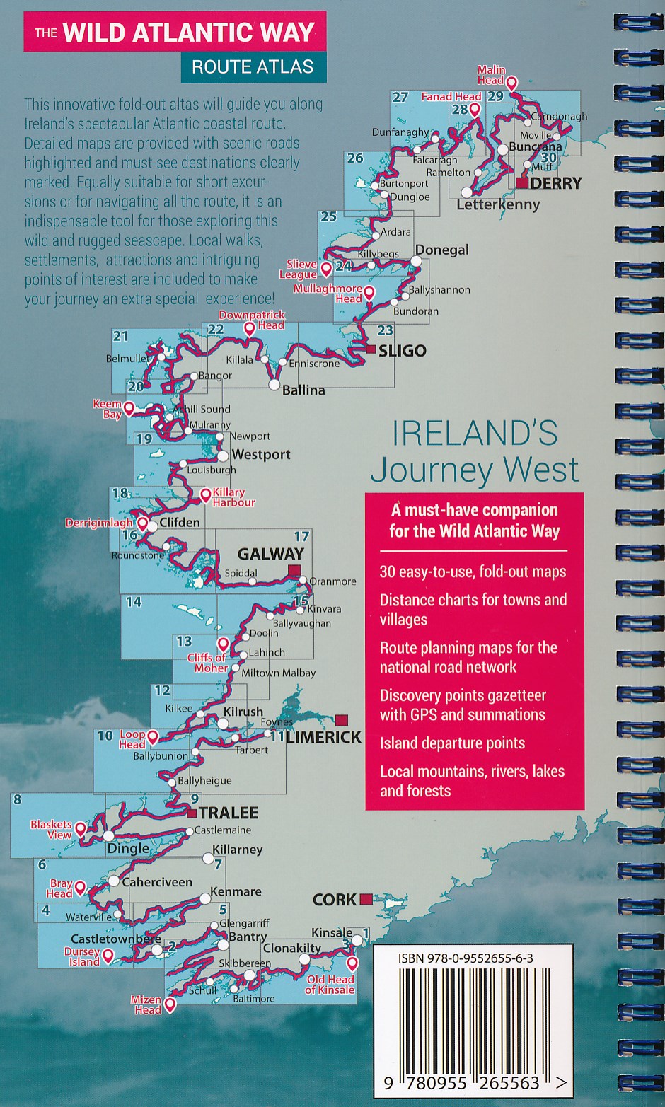
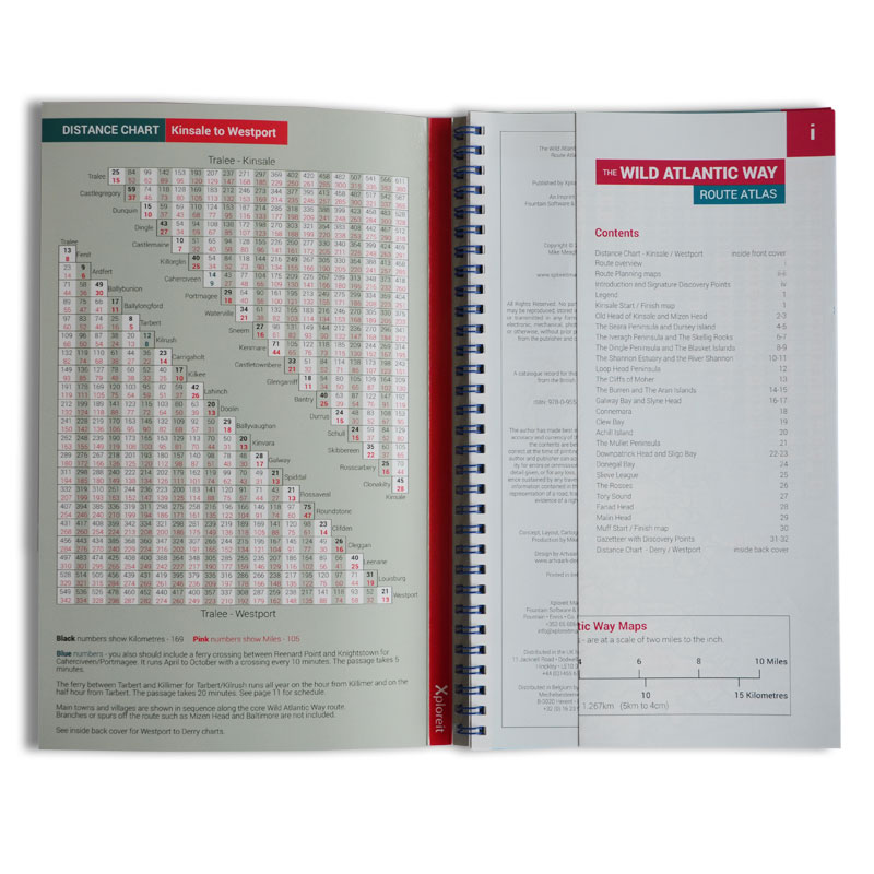
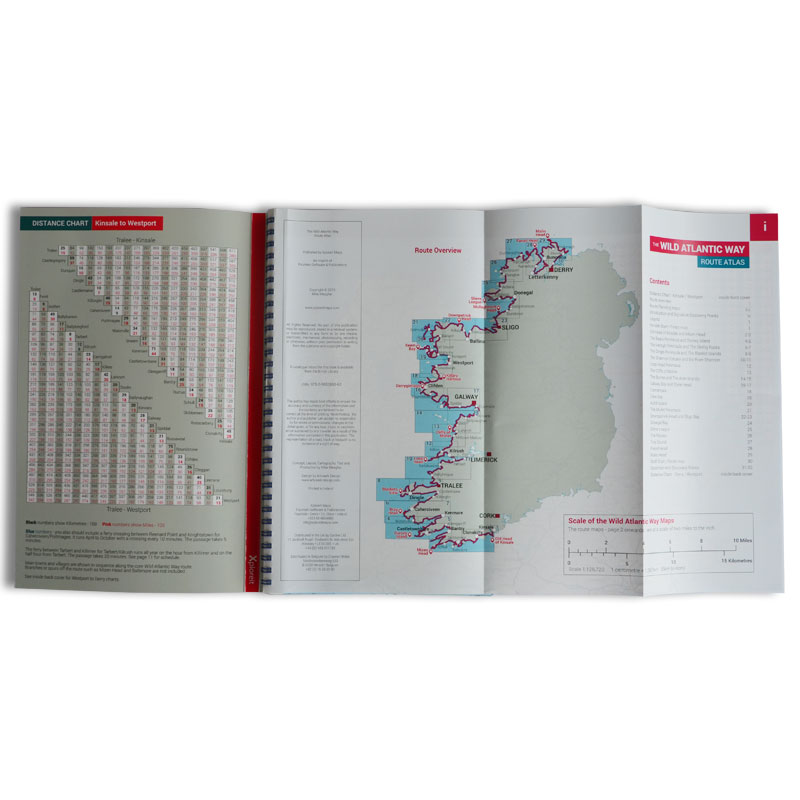
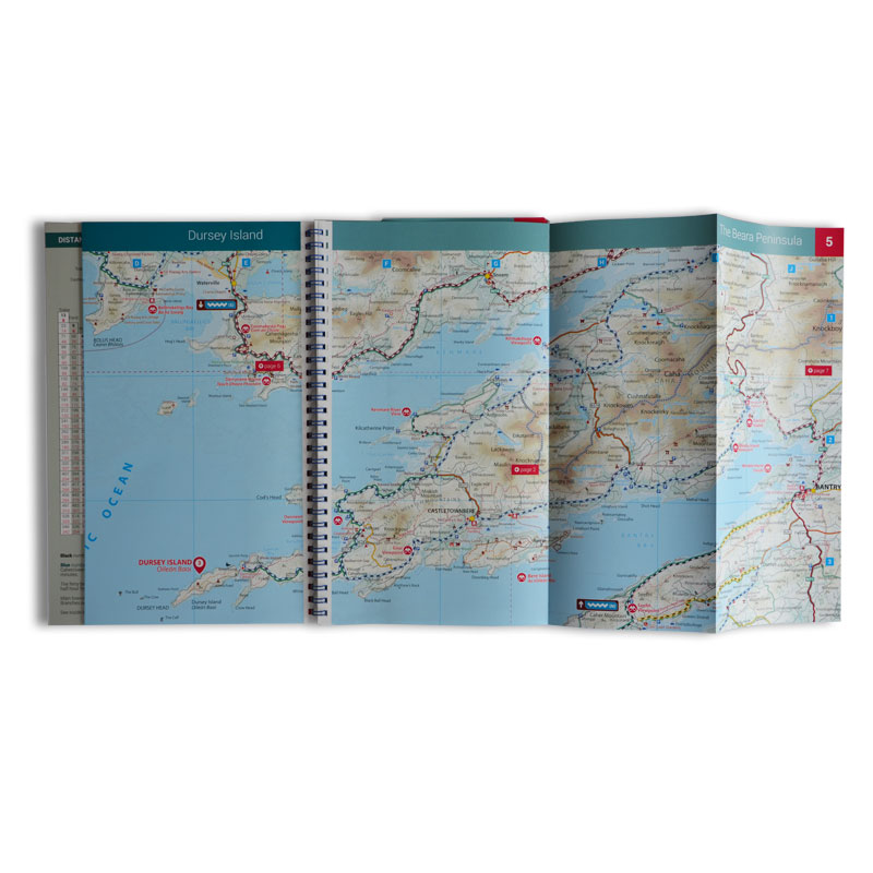
Yvonne Gordon provides an essential guide to Ireland's epic coastal driving route - the Wild Atlantic Way. In this newly revised and updated edition she divides the route into 16 easy-to-follow scenic drives from Kinsale, in south Cork, all the way to the little village of Muff in the far north of the island. Each drive can be comfortably completed in one day and includes an overview map with photographs to illustrate the text. Information is provided on mileage, directions, official discovery points and numerous additional attractions, including the many towns and villages dotted along the way. The generous fold-out maps can be used to follow the guided route or to design custom itineraries. 31 handy fold-out maps. 16 easy-to-follow drives. Official Discovery Points highlighted. Additional recommendations and tips. Route planning maps for the national road network. Distance charts for towns and villages. Yvonne Gordon is an award-winning travel writer who writes about Ireland for publications around the globe including the Irish Independent, The Guardian, Lonely Planet, The Washington Post, National Geographic Travel, BBC Travel and Hemispheres magazine. She is the author of Frommer’s Ireland, co-author of Back Roads Ireland and Lonely Planet Experience Ireland and her awards include Irish Travel Writer of the Year. Based in Dublin, she explores the Wild Atlantic Way regularly, finding something new and fascinating on each journey.
Reviews
Met deze routeatlas kan ik plannen waar we met onze camper van 7,4 meter al dan niet kunnen komen wanneer we de Wild Atlantic Way rijden. De schaal van de atlas leent zich daar perfect voor. Een paar viewpoints zullen we met de fiets moeten doen vanwege te smalle baantjes.
★★★★★ door Agnes Geerts 19 maart 2024 | Heeft dit artikel gekochtVond u dit een nuttige review? (login om te beoordelen)
Deze kaart is prima om op te fietsen. Hoe langer je ernaar kijkt hoe meer je ziet! Ook de hoogtelijnen zijn erg praktisch om een idee te krijgen waar je die dag mee te maken krijgt qua te overwinnen hoogtes. Minpuntje is dat niet al het water duidelijk zichtbaar is als water op de kaart. De fietsverhuurbedrijven in Ierland gebruiken deze kaarten ook en de kaart is echt scheurbestendig, dat bleek na een week fietsen (en vouwen ) :)
★★★★★ door E.luken 27 maart 2016Vond u dit een nuttige review? (login om te beoordelen)
Schrijf een review
Graag horen wij wat u van dit artikel vindt. Vindt u het goed, leuk, mooi, slecht, lelijk, onbruikbaar of erg handig: schrijf gerust alles op! Het is niet alleen leuk om te doen maar u informeert andere klanten er ook nog mee!
Ook interessant voor europa/ierland/zuidwest
-

Wandelgids Irlands Westküste - Ierla
€ 15,50Wandelgidsen Cork - Kerry - Dingle - Zuidwest Ierland -

Campergids Ierland - Irland: Wild At
€ 19,50Campergidsen Noord Ierland -

Fietsgids The Wild Atlantic Way and
€ 20,95Fietsgidsen Cork - Kerry - Dingle - Zuidwest Ierland -
 | Xploreit Maps")
Wegenkaart - landkaart - Fietskaart
€ 23,50Fietskaarten Cork - Kerry - Dingle - Zuidwest Ierland -

Topografische kaart - Wandelkaart 16
€ 19,50Topografische kaarten Donegal - Mayo - Noordwest Ierland