Stadsplattegrond Streetfinder Dublin | Collins (9780008369958)
- ISBN / CODE: 9780008369958
- Editie: meest recente editie
- Schaal: 1:15800
- Auteur(s): Collins Maps
- Uitgever: Collins
- Soort: Stadsplattegrond
- Serie: Streetfinder
- Taal: Engels
- Bindwijze: -
- Uitvoering: Papier
- Schrijf als eerste een review
-
€ 7,95
Op voorraad. Voor 17.00 uur op werkdagen besteld, morgen in huis in Nederland Levertijd Belgie
Gratis verzending in Nederland vanaf €35,-
Beschrijving
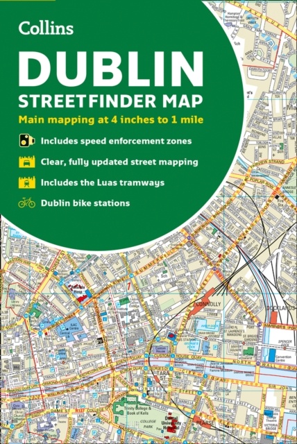
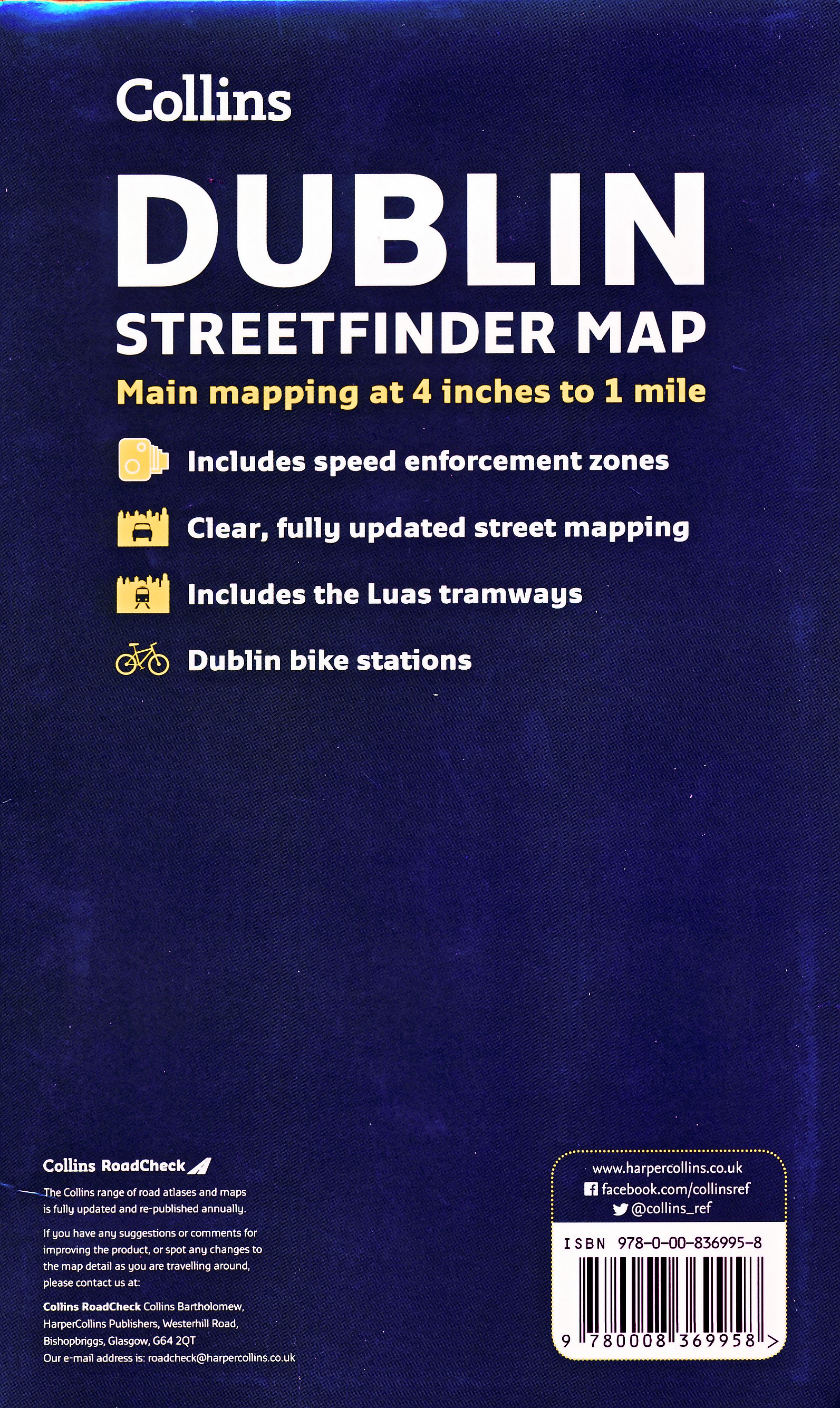
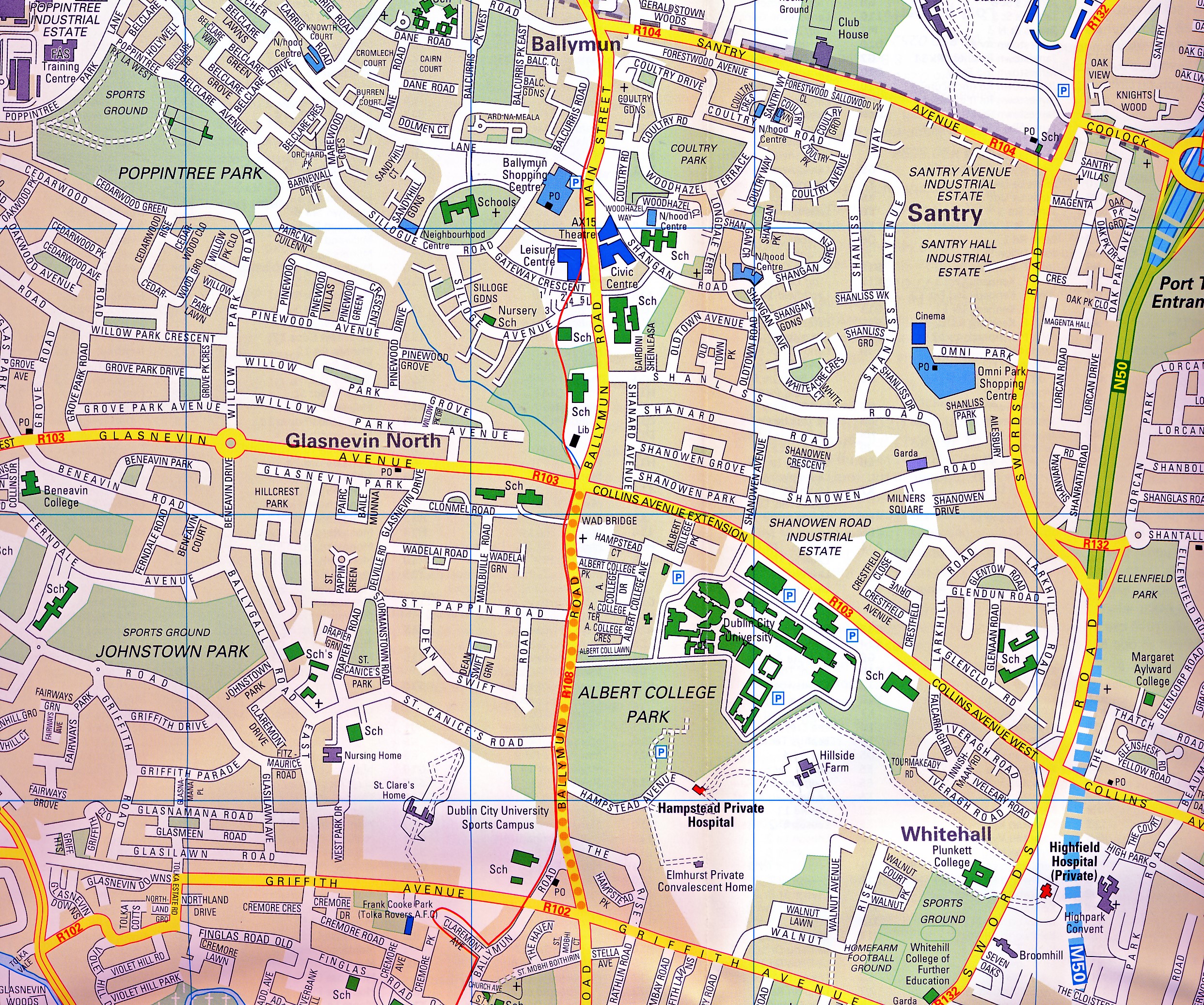
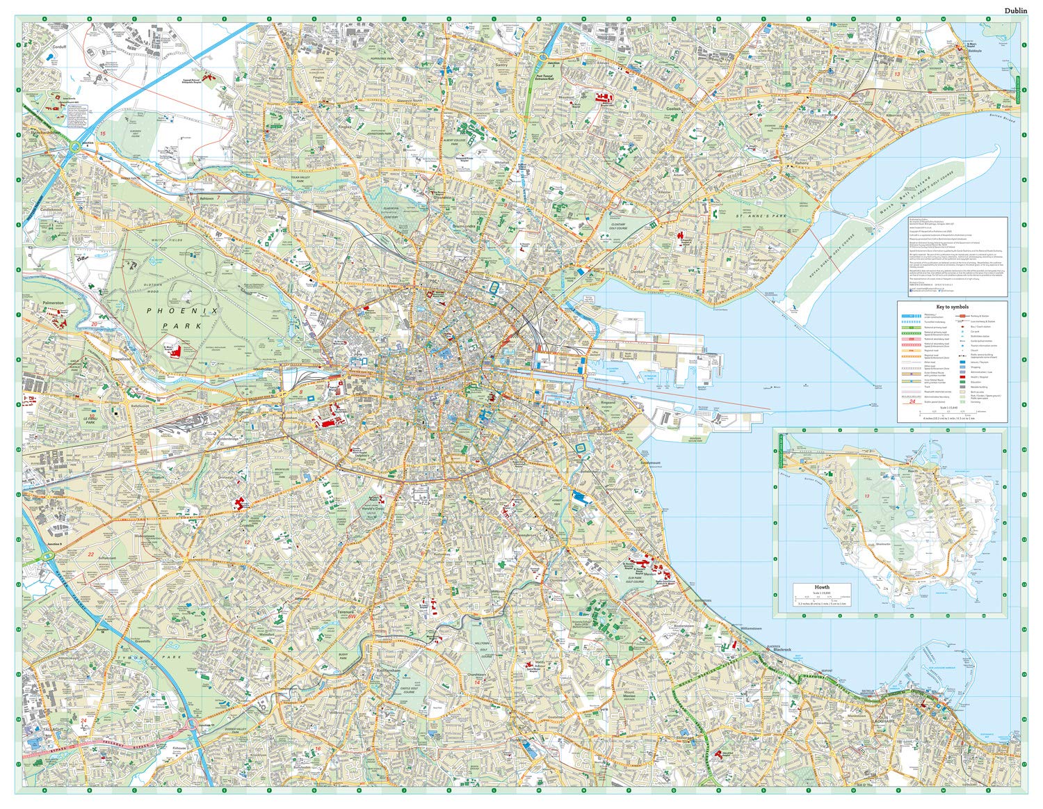
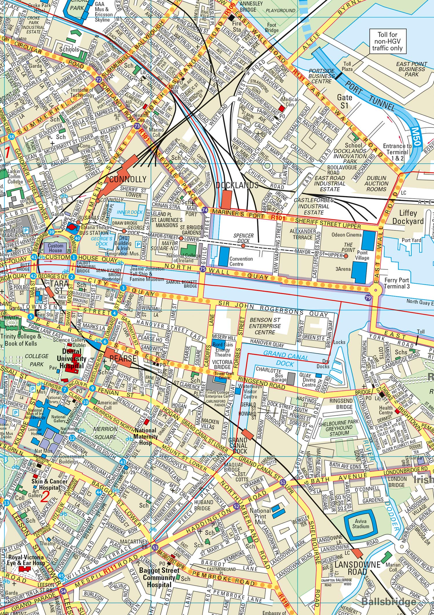
Explore the city of Dublin with this detailed, fully updated colour map. Street by street map covering central Dublin and the surrounding area.
The map, at a scale of 4 inches to 1 mile (1:15,840), has clear, colour-classified streets named and numbered plus places of interest, all fully colour coded for ease of use. It covers the area from Ballymun and Baldoyle in the north to Dundrum in the south, and includes Castleknock and Phoenix Park in the west to the coast in the east. It is ideal for residents, businesses and visitors alike.
The map includes:
- A guide to central Dublin, including information on its history, and travel, transport and shopping.
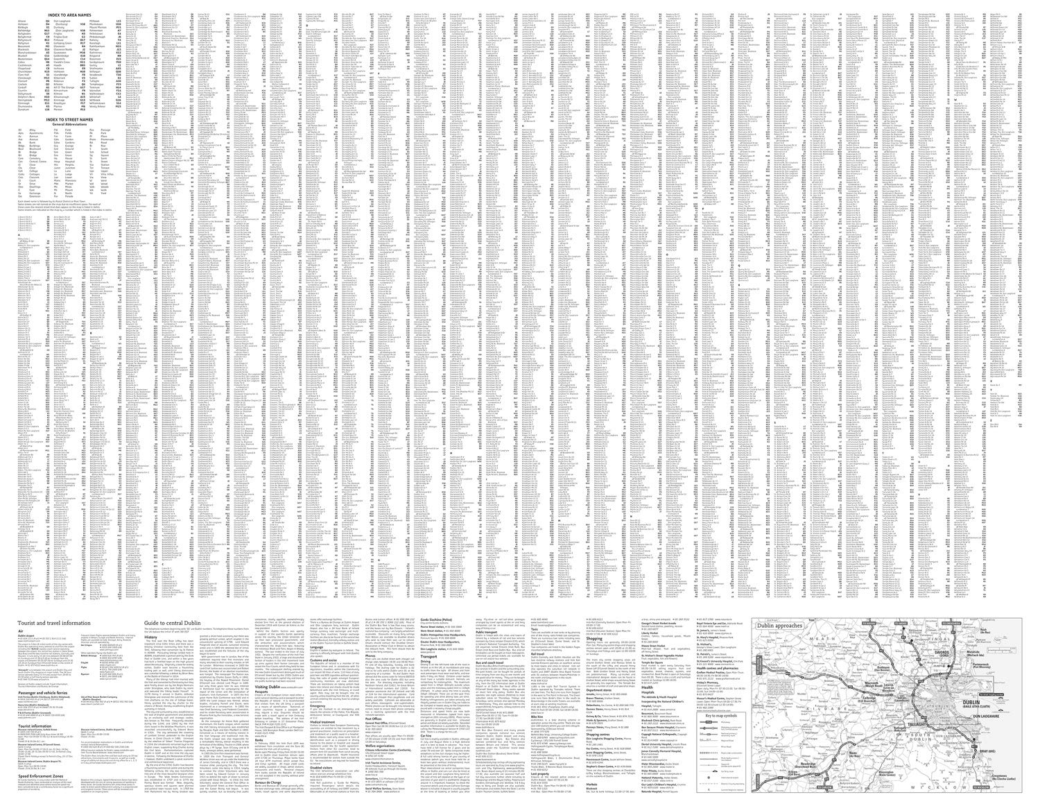
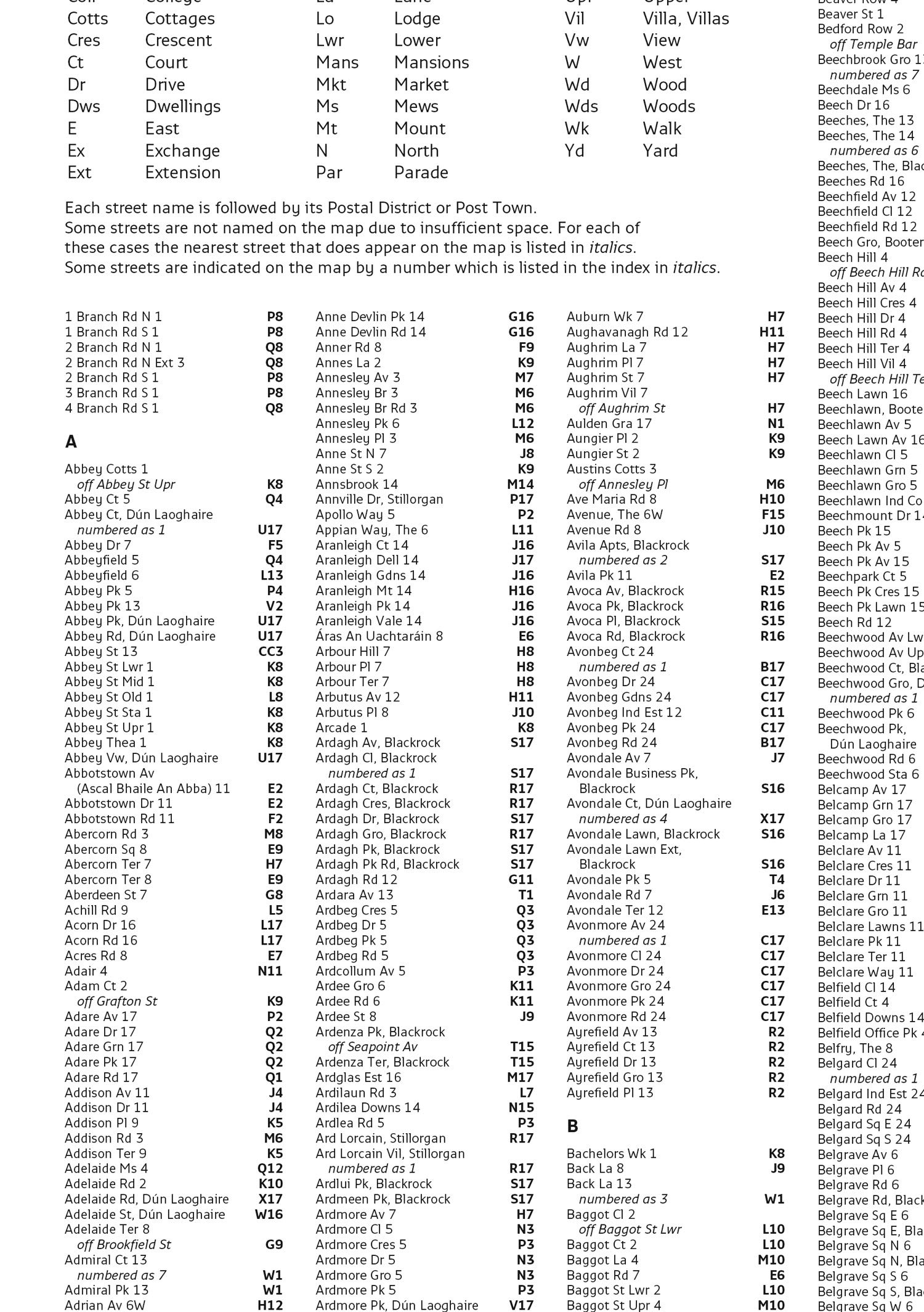
- Full index to street names.
- Route planning map of the area around Dublin.
- Luas tramways and inner and outer orbital routes.
- Important buildings and places of interest.
- Car parks and railway stations.
- Speed enforcement zones as highlighted by the Garda and the National Roads Authority.
- Fixed safety camera locations.
Reviews
Geen reviews gevonden voor dit product.
Schrijf een review
Graag horen wij wat u van dit artikel vindt. Vindt u het goed, leuk, mooi, slecht, lelijk, onbruikbaar of erg handig: schrijf gerust alles op! Het is niet alleen leuk om te doen maar u informeert andere klanten er ook nog mee!
Ook interessant voor europa/ierland/dublin
-

Reisverhaal Dublin, stad vol verhale
€ 18,50Reisverhalen Dublin -

Stadsplattegrond City map Dublin | L
€ 9,95Stadsplattegronden Dublin -

Fietsgids Cycling South Dublin & Wic
€ 22,50Fietsgidsen Wicklow - Oost Ierland -

Topografische kaart - Wandelkaart 50
€ 19,50Topografische kaarten Wicklow - Oost Ierland -

Reisgids time to momo Dublin | Mo'Me
€ 19,99Reisgidsen Dublin