Winkelwagen
Geen items in winkelwagen
Ga naar winkelwagen
Wegenkaart - landkaart Ireland - Ierland 2019 | Collins (9780008272722)
- ISBN / CODE: 9780008272722
- Editie: 2018
- Schaal: 1:570240
- Uitgever: Collins
- Soort: Wegenkaart
- Taal: Engels
- Schrijf als eerste een review
-
€ 7,95
Uitverkocht, nooit meer leverbaar
.jpg)
Beschrijving
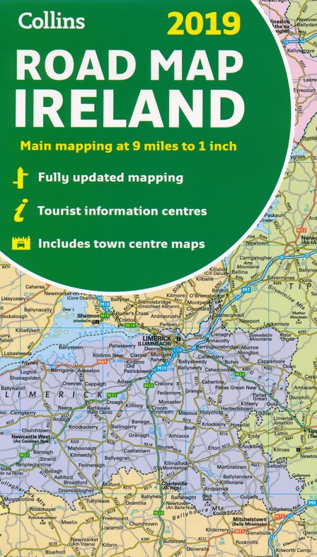
Full colour map of Ireland at 9 miles to 1 inch (1:570,240), with clear, detailed road network and counties and administrative areas shown in colour. This double-sided map covers the whole of Ireland, and is ideal for reference or route planning. This map of Ireland shows the road network in detail.
It is ideal for business users, with its political colouring of local council areas, but it is also perfect for tourists as a route planning map. MAIN FEATURES * Fully updated. * New administrative areas shown in colour.
* Clear, detailed road network. * Town and city names, rivers, lakes, spot heights, railway lines and canals are clearly shown. * City/town centre street plans of Belfast, Cork, Dublin, Dun Laoghaire, Galway, Limerick Londonderry/Derry and Waterford showing places of interest.
* Full index to place names. * Mileage chart. * Car ferry routes.
* Key in English, French and German. AREA OF COVERAGECovers the whole of the Republic of Ireland and Northern Ireland.
Reviews
Geen reviews gevonden voor dit product.
Schrijf een review
Graag horen wij wat u van dit artikel vindt. Vindt u het goed, leuk, mooi, slecht, lelijk, onbruikbaar of erg handig: schrijf gerust alles op! Het is niet alleen leuk om te doen maar u informeert andere klanten er ook nog mee!
Alle gerelateerde rubrieken >
Ook interessant voor europa/ierland
-

Campergids 29 Mit dem Wohnmobil nach
€ 23,95Campergidsen Ierland -

Reisverhaal Round Ireland with a Fri
€ 14,50Reisverhalen Ierland -

Reisgids Reise-Handbuch Irland | Dum
€ 27,50Reisgidsen Ierland -

Wandelkaart 14 Discoverer Lough Neag
€ 19,50Wandelkaarten Noord-Ierland -

Wegenatlas 2025 Collins Handy Road A
€ 9,95Wegenatlassen Engeland