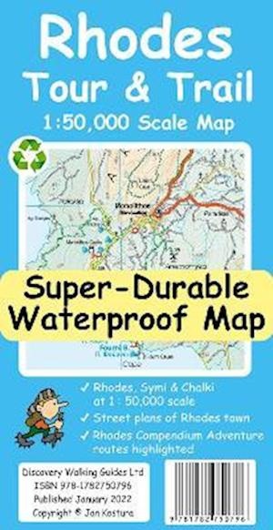
Wandelkaart Tour & Trail Rhodes - Rodos | Discovery Walking Guides (9781782750796)
- ISBN / CODE: 9781782750796
- Editie: 2022
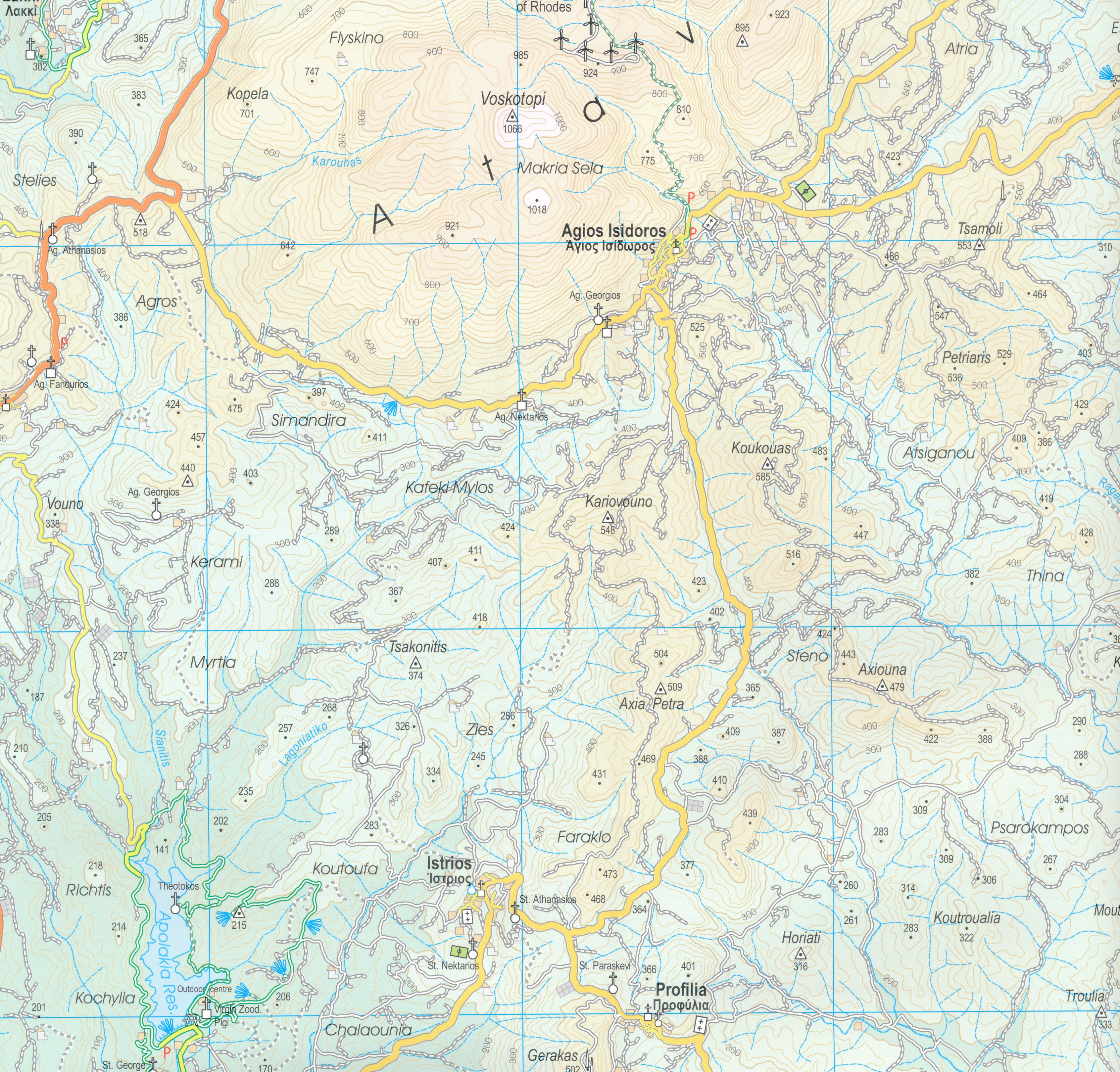
- Schaal: 1:50000
- Auteur(s): Jan Kostura
- Uitgever: Discovery Walking Guides
- Soort: Wandelkaart
- Serie: Tour & Trail
- Taal: Engels
- Hoogte: 23.4 cm
- Breedte: 12.3 cm
- Dikte: 2.1 cm
- Bindwijze: -
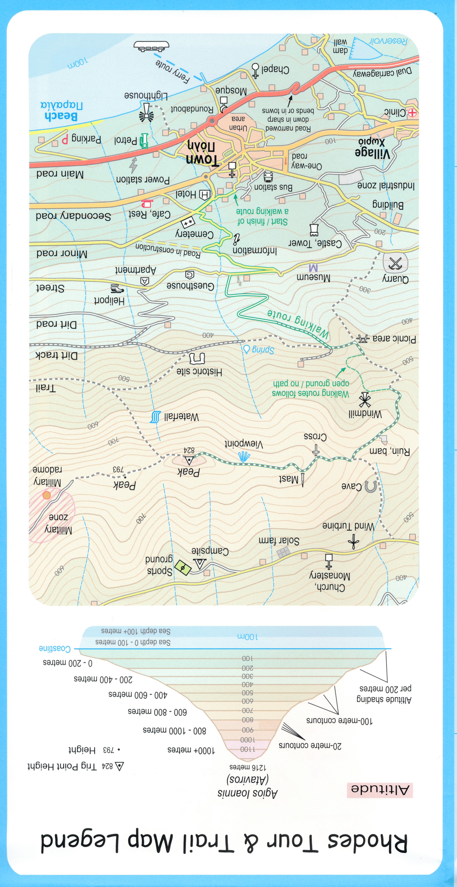
- Uitvoering: Scheur- en watervast
- Beoordeling: 4,0 ★★★★★ (1 review) Schrijf een review
-
€ 17,95
Op voorraad. Voor 17.00 uur op werkdagen besteld, morgen in huis in Nederland Levertijd Belgie
Gratis verzending in Nederland vanaf €35,-
Beschrijving
Reviews
Kaart die tegen een stootje kan, vaak herplooid kan worden en nog een handig formaat heeft. Je kan er online nog een bijhorende bundel met wandelingen van vinden.
★★★★★ door Cindy 18 september 2022 | Heeft dit artikel gekochtVond u dit een nuttige review? (login om te beoordelen)
Schrijf een review
Graag horen wij wat u van dit artikel vindt. Vindt u het goed, leuk, mooi, slecht, lelijk, onbruikbaar of erg handig: schrijf gerust alles op! Het is niet alleen leuk om te doen maar u informeert andere klanten er ook nog mee!
Ook interessant voor europa/griekenland/rhodos
-

Wandelkaart 10.38 Rhodos - Rhodes &
€ 10,95Wandelkaarten Rhodos -

Wandelgids Rhodos, Karpathos, Kos an
€ 17,95Wandelgidsen Dodecanesos (zuid -oost) -

Reisverhaal Wild Abandon - Dodecanes
€ 14,95Reisverhalen Dodecanesos (zuid -oost) -

Wegenkaart - landkaart Rhodes - Rhod
€ 11,50Wegenkaarten Rhodos -

Reisgids Trotter Rhodos - Kos - Dode
€ 19,99Reisgidsen Dodecanesos (zuid -oost)