Winkelwagen
Geen items in winkelwagen
Ga naar winkelwagen
Wegenkaart - landkaart Isle of Wight | Philip's Maps (9781849075398)
- ISBN / CODE: 9781849075398
- Editie: 2020
- Schaal: 1:50000
- Uitgever: Philip's Maps
- Soort: Wegenkaart
- Taal: Engels
- Bindwijze: -
- Uitvoering: Papier
- Schrijf als eerste een review
-
€ 9,95
Uitverkocht, nooit meer leverbaar
Beschrijving
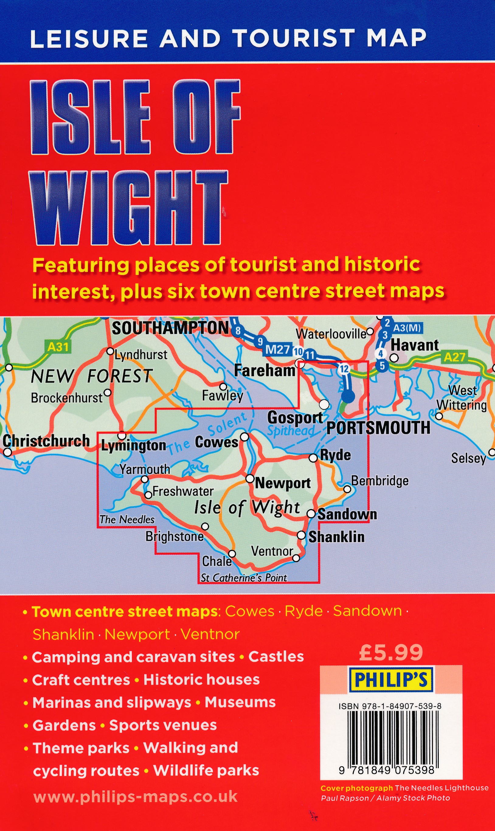
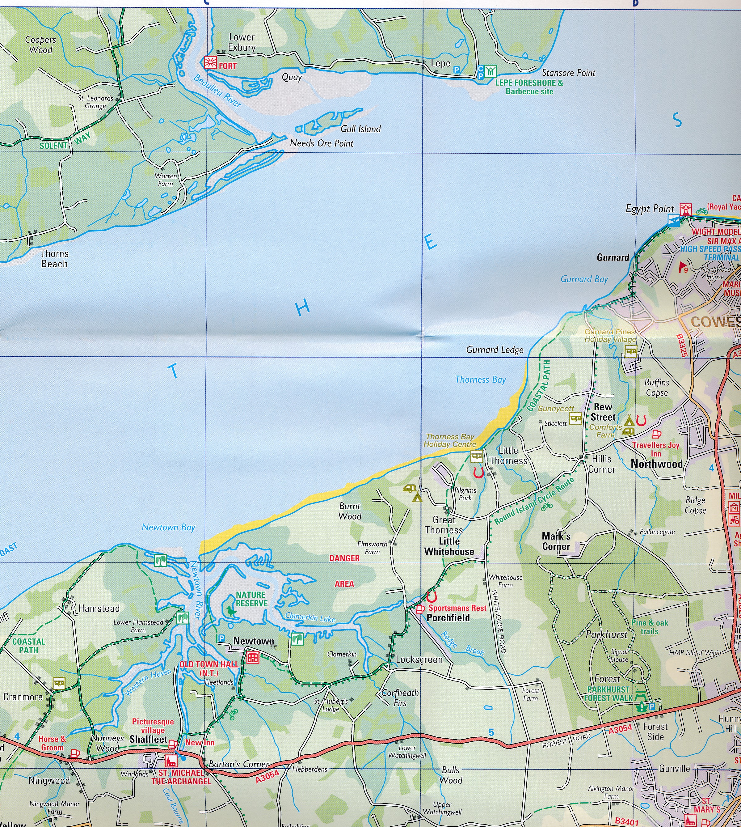
A newly updated edition of this single-sided folded sheet map of the Isle of Wight, giving everything you need for a holiday or day trip. Whether you want to enjoy the extraordinary coastal walks or be regal at Osbourne House, the map features all the key camping and caravan sites, castles, craft centres, historic houses, marinas and slipways, museums, gardens, sports venues, theme parks, walking and cycling routes, and wildlife parks. With wineries and ancient churches, amazing sailing and exceptional landscapes, the Isle of Wight has much to offer.
Charles I was imprisoned on the island during the Civil War at Carisbrooke Castle and there are botanical gardens to wander at your leisure. The famous Needles are must-visit and welcoming seaside towns are clearly marked for easy navigation. There are six clear town centre street maps: Cowes, Newport, Ryde, Sandown, Shanklin and Ventnor to ensure you never get lost.
With a clear, user-friendly mapping style, this map provides all the information that visitors and locals need to find their way around the island.
Reviews
Geen reviews gevonden voor dit product.
Schrijf een review
Graag horen wij wat u van dit artikel vindt. Vindt u het goed, leuk, mooi, slecht, lelijk, onbruikbaar of erg handig: schrijf gerust alles op! Het is niet alleen leuk om te doen maar u informeert andere klanten er ook nog mee!
Alle gerelateerde rubrieken >
Ook interessant voor europa/engeland/south-east-england
-

Reisverhaal Copsford | Walter J.C. M
€ 20,00Reisverhalen South East England -

Reisgids Dorset, Hampshire and the I
€ 20,95Reisgidsen South West England -

Wandelkaart - Topografische kaart 17
€ 19,50Topografische kaarten South East England -

Wandelgids Weekend Walks The Surrey
€ 9,95Wandelgidsen South East England -

Wegenkaart - landkaart Pocket Map Is
€ 6,95Wegenkaarten ♦ Isle of Wight