Winkelwagen
Geen items in winkelwagen
Ga naar winkelwagen
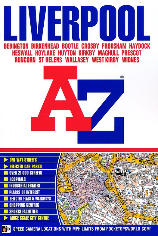
Stadsplattegrond - Wegenatlas Liverpool | A-Z Map Company (9781843489115)
- ISBN / CODE: 9781843489115
- Aantal blz.: 224
- Schaal: 1:18103
- Uitgever: A-Z Map Company
- Soort: Stadsplattegrond, Wegenatlas
- Taal: Engels
- Uitvoering: -
- Bindwijze: -
- Schrijf als eerste een review
-
€ 9,50
Uitverkocht, nooit meer leverbaar
Beschrijving
Handzame wegenatlas - stadsplattegrond van Liverpool in boekvorm (geen spiraal) op A5 formaat. Met uitgebreid register.
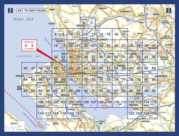
This A-Z map of Liverpool is a full colour, paperback street atlas featuring 120 pages of continuous street mapping which extends to include:
- Maghull
- Crosby
- Bootle
- Kirkby
- Prescot
- Huyton
- St. Helens
- Haydock
- Widnes
- Runcorn
- Wallasey
- Birkenhead
- West Kirby
- Heswall
Also included is:
- a large scale city centre map of Liverpool
- a postcode map of the Liverpool area
- a Liverpool rail connections map, featured on the outside back cover
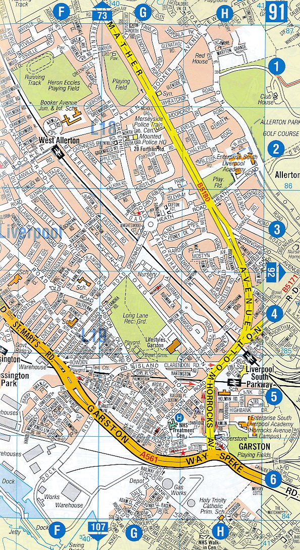
Postcode districts, one-way streets, park and ride sites and safety camera locations with their maximum speed limits are featured on the mapping.
The index section lists streets, selected flats, walkways and places of interest, place, area and station names. There is a separate list of hospitals, NHS Walk-in Centres and hospices covered by this atlas.
Reviews
Geen reviews gevonden voor dit product.
Schrijf een review
Graag horen wij wat u van dit artikel vindt. Vindt u het goed, leuk, mooi, slecht, lelijk, onbruikbaar of erg handig: schrijf gerust alles op! Het is niet alleen leuk om te doen maar u informeert andere klanten er ook nog mee!
Alle gerelateerde rubrieken >
Ook interessant voor europa/engeland/overige-steden-9
-

Reisverhaal Liverpool - A Love Story
€ 23,50Reisverhalen Meer steden -

Reisgids Secret Liverpool | Jonglez
€ 19,95Reisgidsen Meer steden -

Stadsplattegrond Brighton | Quickmap
€ 5,95Stadsplattegronden Meer steden -

Wandelgids Manchester Hidden Walks |
€ 9,95Wandelgidsen Meer steden -

Reisgids Bath, Bristol & Somerset |
€ 23,95Reisgidsen South West England