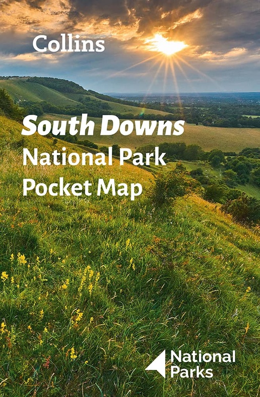
Wegenkaart - landkaart National Park Pocket Map South Downs | Collins (9780008439200)
- ISBN / CODE: 9780008439200
- Editie: 2022
- Schaal: 1:125000
- Uitgever: Collins
- Soort: Wegenkaart
- Serie: National Park Pocket Map
- Taal: Engels
- Bindwijze: -
- Uitvoering: Papier
- Schrijf als eerste een review
-
€ 7,95
Op voorraad. Voor 17.00 uur op werkdagen besteld, morgen in huis in Nederland Levertijd Belgie
Gratis verzending in Nederland vanaf €35,-
Beschrijving
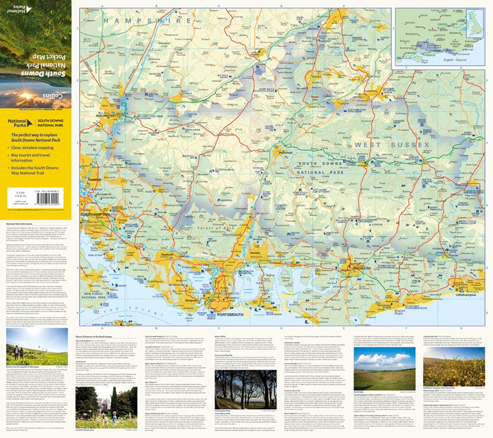
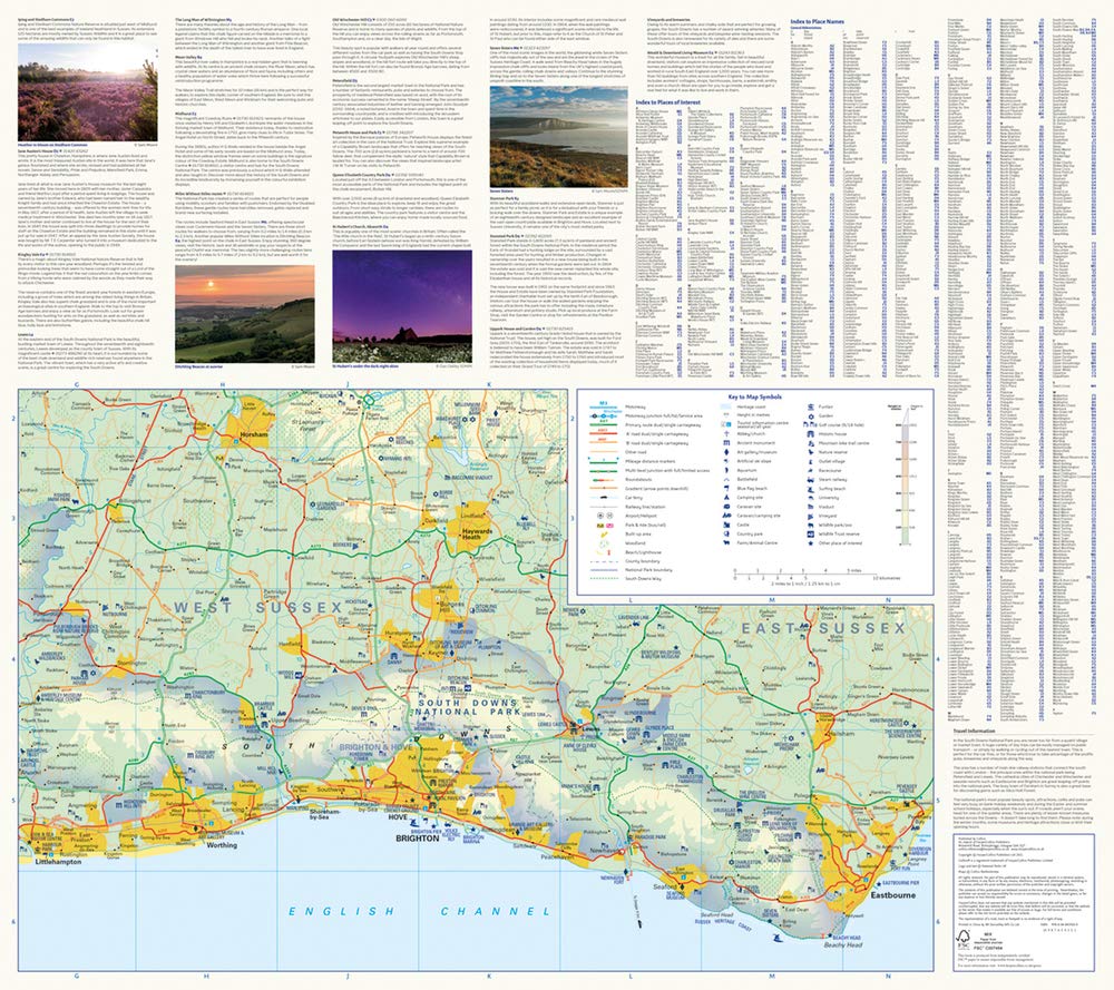
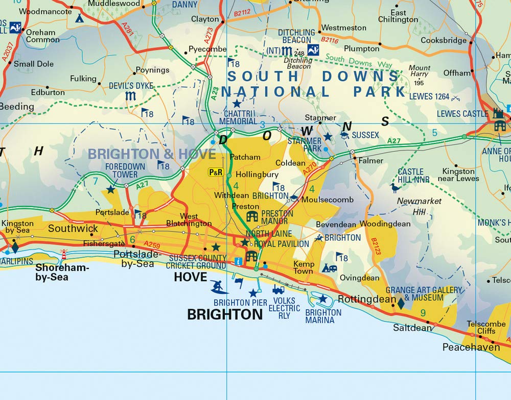
Handige kleine kaart van dit Nationaal Park. De kaart geeft een goed en helder overzicht van het gebied met alle plaatsen, doorgaande wandelpaden (alhoewel grof van schaal), bezienswaardigheden etc. Met een register en aanvullende tekst onder de kaart is het een mooi overzicht wat je waar kunt gaan doen.
Handy little full colour map of South Downs National Park.Detailed mapping and visitor information to the National Park along with a selection of photographs. Map at a scale of 1:125 000 (1cm to 1.25km, 2.0 miles to 1 inch).This small map gives a great overview of the South Downs National Park, and is the perfect companion for exploring this beautiful area of South East England.• Clear, detailed mapping• Key park, tourist and travel information• Ideal for planning visits to the National Park• Index to help locate and plan your trip· Information on the South Downs Way, Miles Without Stiles routes, the Seven Sisters and other places of interest
Reviews
Geen reviews gevonden voor dit product.
Schrijf een review
Graag horen wij wat u van dit artikel vindt. Vindt u het goed, leuk, mooi, slecht, lelijk, onbruikbaar of erg handig: schrijf gerust alles op! Het is niet alleen leuk om te doen maar u informeert andere klanten er ook nog mee!
Ook interessant voor europa/engeland/South-West-England
-

Reisgids Slow Travel Sussex - South
€ 18,50Reisgidsen South East England -

Wandelkaart - Topografische kaart 18
€ 19,50Topografische kaarten South West England -

Wegenkaart - landkaart National Park
€ 7,95Wegenkaarten South West England -

Fietsgids Fietsen rond het Kanaal. d
€ 21,50Fietsgidsen South West England -

Wandelgids 67 Pathfinder Guides Sout
€ 18,50Wandelgidsen South East England