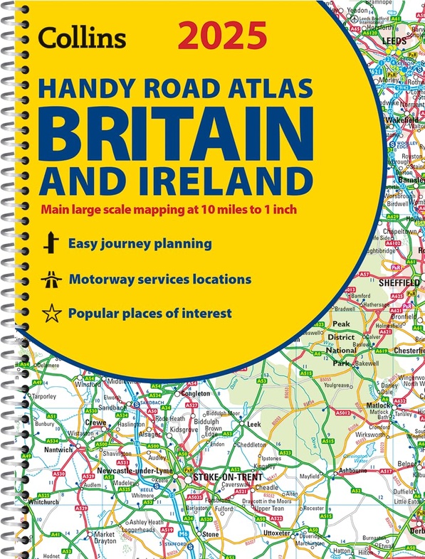
Wegenatlas 2025 Collins Handy Road Atlas Britain and Ireland | Collins (9780008652890)
kleine wegenatlas in ringband
- ISBN / CODE: 9780008652890
- Editie: 2024
- Aantal blz.: 80
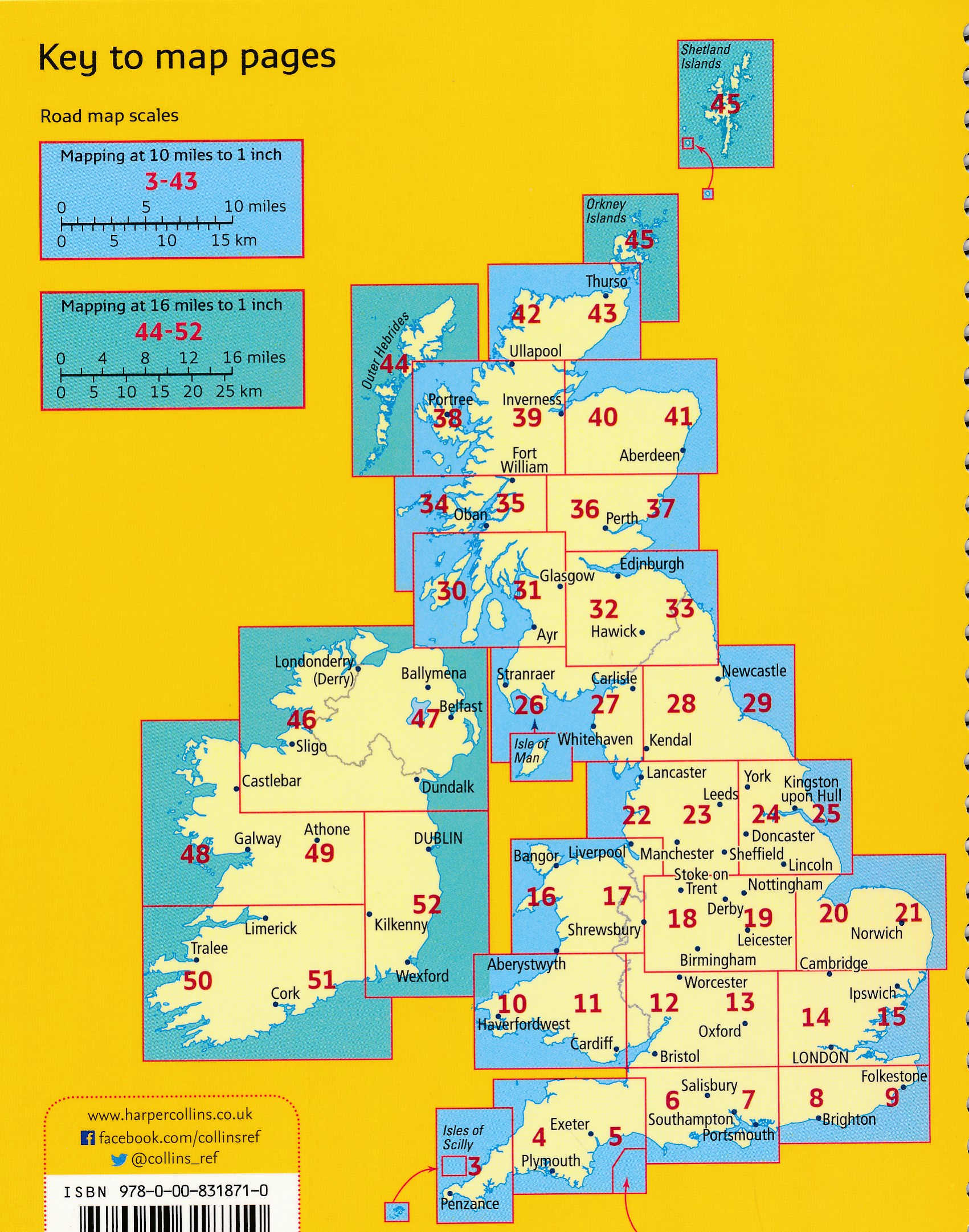
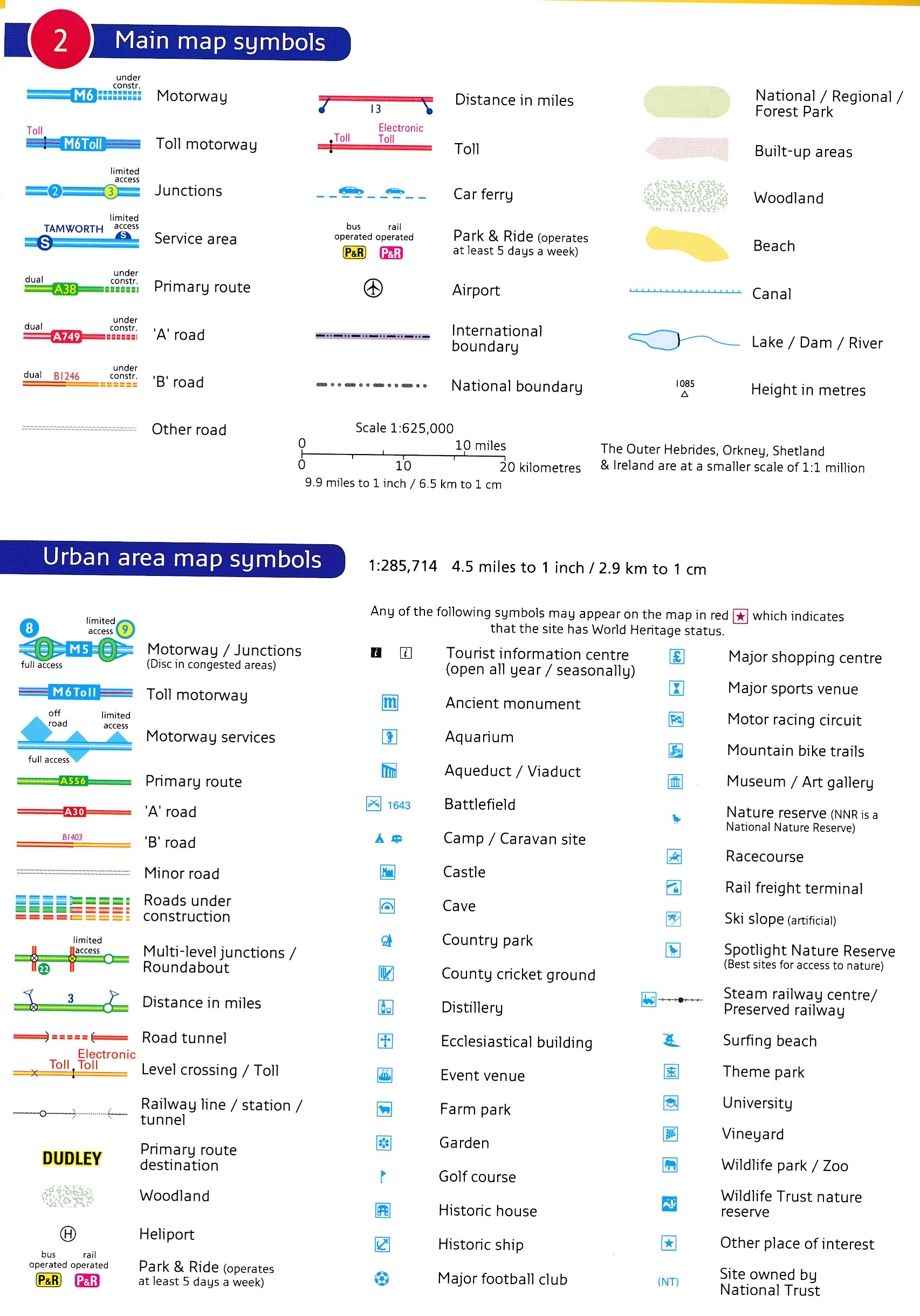
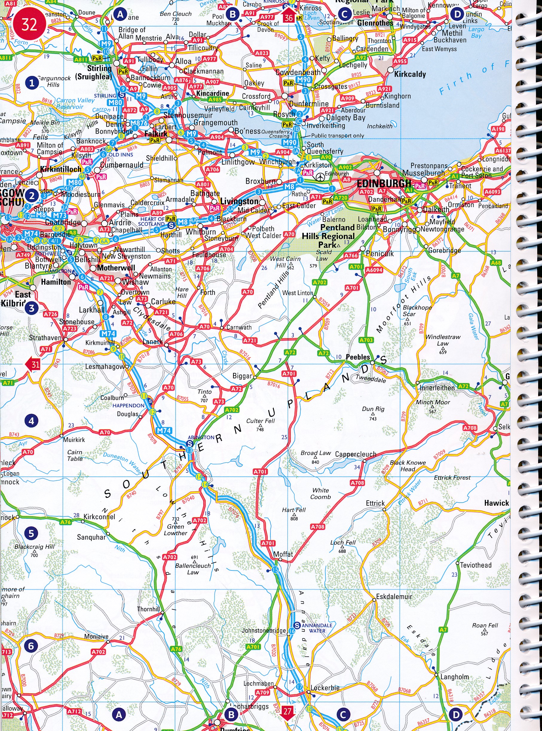
- Schaal: 1:625000
- Auteur(s): Collins Maps
- Uitgever: Collins
- Soort: Wegenatlas
- Taal: Engels
- Hoogte: 21.2 cm
- Breedte: 15.8 cm
- Dikte: 1.0 cm
- Bindwijze: RIngband
- Uitvoering: -
- Beoordeling: 5,0 ★★★★★ (1 review) Schrijf een review
-
€ 9,95
Op voorraad. Voor 17.00 uur op werkdagen besteld, morgen in huis in Nederland Levertijd Belgie
Gratis verzending in Nederland vanaf €35,-
Beschrijving
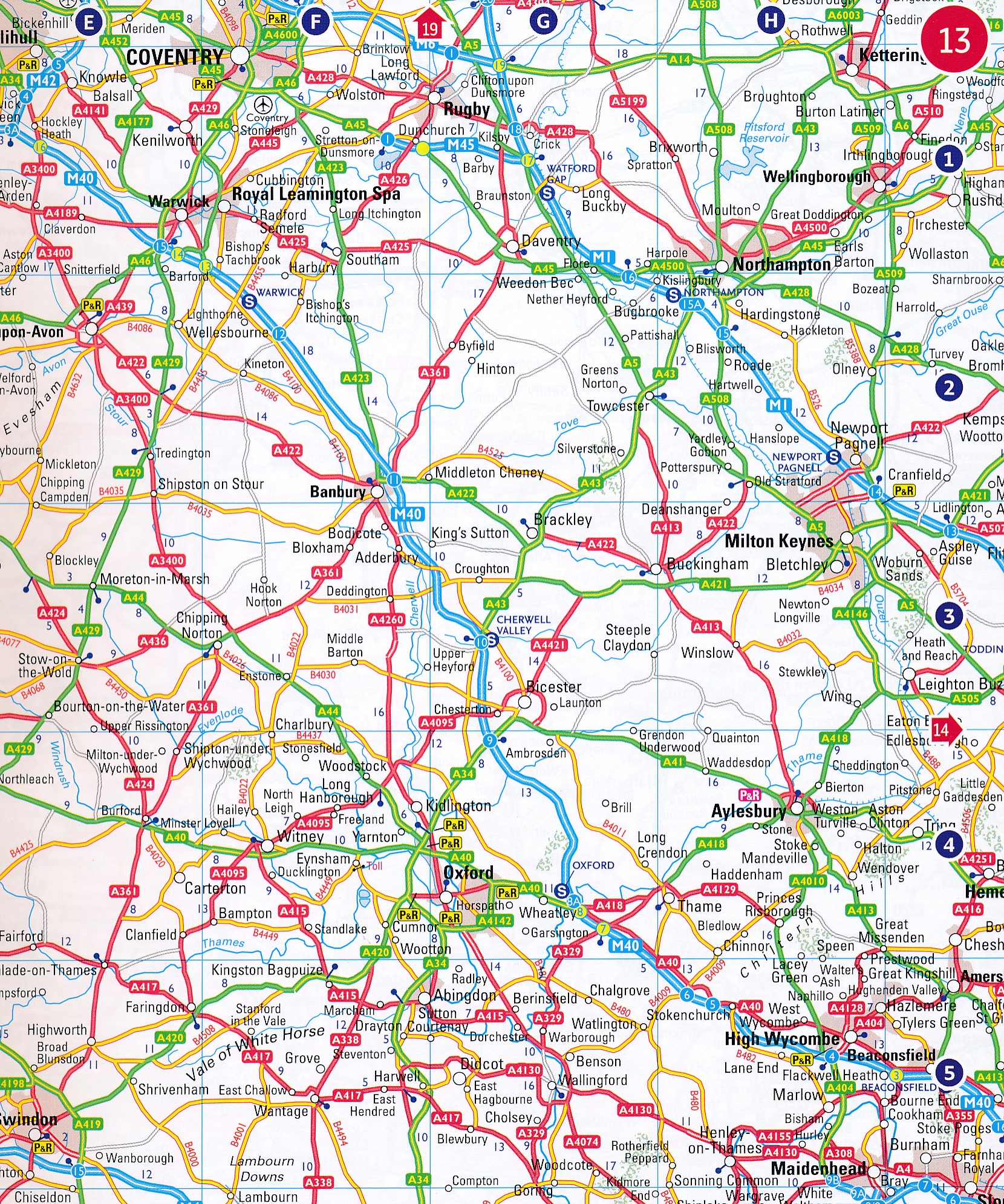
Handzame A5 wegenatlas van Engeland, Wales, Schotland en Ierland met register en stadsplattegronden
Reviews
Veel dank voor het toezenden van de wandelkaarten en de Wegenatlas. We hebben er veel gebruik van gemaakt. De wegenatlas is overzichtelijk en heel behulpzaam bij het plannen van een route.
★★★★★ door Godert van Voorst Vader 8 augustus 2023Vond u dit een nuttige review? (login om te beoordelen)
Schrijf een review
Graag horen wij wat u van dit artikel vindt. Vindt u het goed, leuk, mooi, slecht, lelijk, onbruikbaar of erg handig: schrijf gerust alles op! Het is niet alleen leuk om te doen maar u informeert andere klanten er ook nog mee!
Ook interessant voor europa/engeland
-

Accommodatiegids - Bed and Breakfast
€ 27,95Accommodatiegidsen Engeland -

Reisgids Camping Road Trips: Britain
€ 26,50Reisgidsen Wales -

Campinggids Wild Camping UK and Irel
€ 23,95Campinggidsen Wales -

Wegenatlas Britain for Bikers | Voor
€ 20,95Wegenatlassen Wales -

Scratch Map Bier Brouwerijen Groot-B
€ 16,95Scratch Maps & kraskaarten Wales