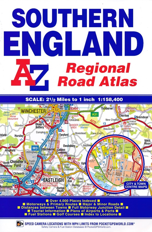
Wegenatlas Southern England | A-Z Map Company (9781843487975)
- ISBN / CODE: 9781843487975
- Aantal blz.: 60
- Schaal: 1:158400
- Uitgever: A-Z Map Company
- Soort: Wegenatlas
- Serie: Regional Road Atlas
- Taal: Engels
- Bindwijze: -
- Uitvoering: -
- Beoordeling: 1,0 ★★★★★ (1 review) Schrijf een review
-
€ 8,50
Uitverkocht, nooit meer leverbaar
Beschrijving
Handzame gedetailleerde wegenatlas van een gedeelte van zuid Engeland.
- Cardiff
- Newport
- Bristol
- Swindon
- Reading
- Slough
- Guildford
- Littlehampton
- Portsmouth
- Isle of Wight
- Bournemouth
- Weymouth
- Sidmouth
- Taunton
- Weston-Super-Mare
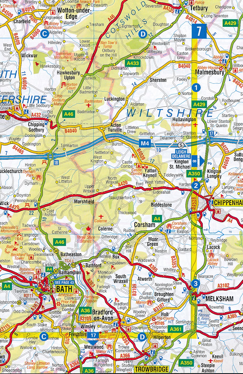
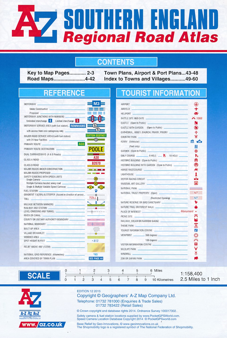
- Motorways with full junction detail, primary routes and destinations, A & B roads, under construction and proposed roads, service areas, tolls, mileages, national, county and unitary authority boundaries.
- Selected safety camera locations with maximum speed limits.
- Selected fuel stations
- National Park boundaries
- Selected places of interest and tourist information centres.
- Bath
- Bournemouth
- Bristol
- Cardiff
- Guildford
- Portsmouth
- Reading
- Salisbury
- Southampton
- Swindon
- Taunton
- Winchester
- Windsor
- London Heathrow Airport
- Poole Port
Reviews
Teleurstellend product. De atlas beslaat een klein stuk van Zuid-Engeland: zo ongeveer het deel tussen Bristol, Londen en Porthmouth. Het kaartbeeld is onoverzichtelijk, nauwelijks gedetailleerd en de bladzijden zijn te klein. Gelukkig kan ik het boekje retourneren.
★★★★★ door Martin Hagen 12 mei 2017Vond u dit een nuttige review? (login om te beoordelen)
Schrijf een review
Graag horen wij wat u van dit artikel vindt. Vindt u het goed, leuk, mooi, slecht, lelijk, onbruikbaar of erg handig: schrijf gerust alles op! Het is niet alleen leuk om te doen maar u informeert andere klanten er ook nog mee!
Ook interessant voor europa/engeland/South-West-England
-

Wandelkaart - Topografische kaart 18
€ 19,50Topografische kaarten South West England -

Wegenkaart - landkaart Südengland &
€ 11,50Wegenkaarten Wales -

Reisfotografiegids Photographing Dor
€ 29,95Reisfotografiegidsen South West England -

Wandelgids Dorset | Pocket Mountains
€ 9,95Wandelgidsen South West England -

Reisgids Walks in and around London
€ 22,50Reisgidsen South West England