Winkelwagen
Geen items in winkelwagen
Ga naar winkelwagen
Wereldkaart Satelliet, 111 x 77 cm | National Geographic (9780792280903)
papieren versie
- ISBN / CODE: 9780792280903
- Schaal: 1:38931000
- Uitgever: National Geographic
- Soort: Wereldkaart
- Taal: Engels
- Hoogte: 77.0 cm
- Breedte: 111.0 cm
- Cartografie: satellietbeeld
- Schrijf als eerste een review
-
€ 23,50
Uitverkocht, nooit meer leverbaar
Beschrijving
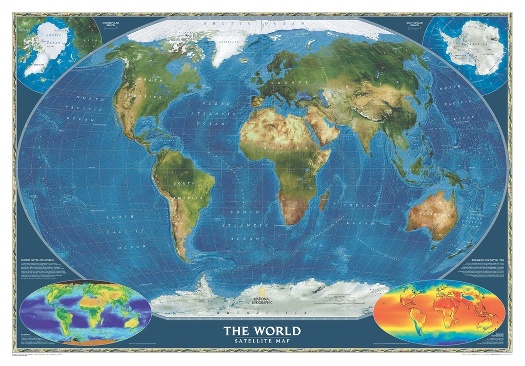
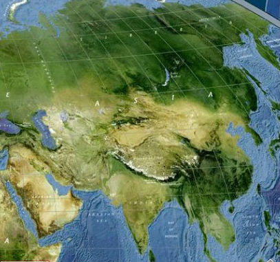
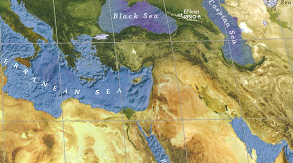
Mooie gedetailleerde satellietkaart van de wereld. Met topografische namen van o.s. landen
The most accurate map of the Earth's surface ever produced from satellite data. This computer-generated composite map draws from more that 500 images to give one-kilometer detail and consistent representation of natural colors.
Encapsulated version of a global satellite mosaic of a cloud-free image of the Earth in its natural colours, as it would be seen from space. The map was produced for the NGS by NASA’s Jet Propulsion Laboratory using more than 500 satellite images prepared by the National Oceanic and Atmospheric Administration.
One can easily identify the world’s major mountain ranges, glaciers, deserts, or rain forests. The colouring of the oceans shows various depths, with numerous trenches, ridges and fractures clearly visible.
Polar Regions are included, shown as insets, whilst two smaller maps of the world provide information on the biosphere and surface temperature.
Reviews
Geen reviews gevonden voor dit product.
Schrijf een review
Graag horen wij wat u van dit artikel vindt. Vindt u het goed, leuk, mooi, slecht, lelijk, onbruikbaar of erg handig: schrijf gerust alles op! Het is niet alleen leuk om te doen maar u informeert andere klanten er ook nog mee!