Winkelwagen
Geen items in winkelwagen
Ga naar winkelwagen
Auvergne - Cantal
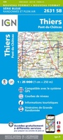 Wandelkaart - Topografische kaart 2631SB Thiers | IGN - Institut Géographique National
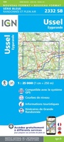 Wandelkaart - Topografische kaart 2332SB Ussel | IGN - Institut Géographique National
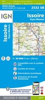 Wandelkaart - Topografische kaart 2532SB Veyre-Monton, Issoire | IGN - Institut Géographique National
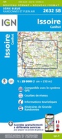 Wandelkaart - Topografische kaart 2632SB Issoire | IGN - Institut Géographique National
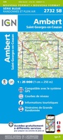 Wandelkaart - Topografische kaart 2732SB Ambert | IGN - Institut Géographique National
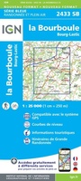 Topografische kaart - Wandelkaart 2433SB la Bourboule | IGN - Institut Géographique National
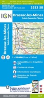 Wandelkaart - Topografische kaart 2633SB St-Germain-l'Herm, Brassac-les-Mines | IGN - Institut Géographique National
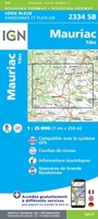 Wandelkaart - Topografische kaart 2334SB Mauriac | IGN - Institut Géographique National
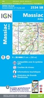 Wandelkaart - Topografische kaart 2534SB Massiac - Ardes | IGN - Institut Géographique National
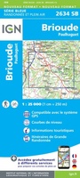 Wandelkaart - Topografische kaart 2634SB Paulhaguet - Brioude | IGN - Institut Géographique National
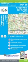 Wandelkaart - Topografische kaart 2734SB Allègre, La Chaise-Dieu, Craponne-sur-Arzon | IGN - Institut Géographique National
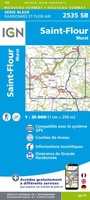 Wandelkaart - Topografische kaart 2535SB St-Flour, Murat | IGN - Institut Géographique National
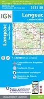 Wandelkaart - Topografische kaart 2635SB Langeac - Lavoûte-Chilhac | IGN - Institut Géographique National
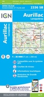 Wandelkaart - Topografische kaart 2336SB Aurillac, Barrage de St-Etienne-Cantalès, Laroquebrou | IGN - Institut Géographique National
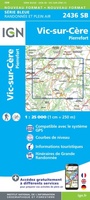 Wandelkaart - Topografische kaart 2436SB Pierrefort, Barrage de Sarrans, Vic-sur-Cère | IGN - Institut Géographique National★★★★★
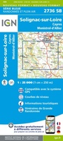 Wandelkaart - Topografische kaart 2736SB Monistrol d'Allier, Solignac-sur-Loire, Cayres | IGN - Institut Géographique National
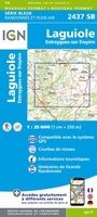 Wandelkaart - Topografische kaart 2437SB Laguiole, Entraygues-sur-Truyere | IGN - Institut Géographique National★★★★★
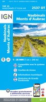 Wandelkaart - Topografische kaart 2537OT Nasbinals - Monts d'Aubrac | IGN - Institut Géographique National
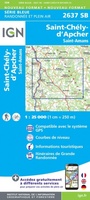 Wandelkaart - Topografische kaart 2637SB Saint-Chély-d'Apcher | IGN - Institut Géographique National
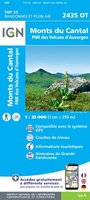 Wandelkaart - Topografische kaart 2435OT Monts du Cantal | IGN - Institut Géographique National★★★★★
Laatste reviews

Handzaam en zeer bruikbaar
Het is een fijn boekje dat makkelijk te hanteren is ( spiraalrug). Zeer complete info over sluizen, waterdiepte, campings, etc. Het enige wat wennen is, …
★★★★★ door Gert Jan Pullen 15 juni 2024 | Heeft dit artikel gekocht
Snel bezorgt.
Prima kaart, veel gebruikt tijdens de vakantie.
★★★★★ door Lolke 14 juni 2024 | Heeft dit artikel gekocht
Erg praktische gids
Boekje is handzaam om mee te nemen en geeft voldoende detail informatie om jouw eigen reisplan te maken, met voorgestelde etappes indien je 8, 10, …
★★★★★ door Michiel 14 juni 2024 | Heeft dit artikel gekocht
Ik had graag de Nederlandse/Vlaamse versie gehad.
Mooie plattegrond van Brugge, nog beter was een aparte vergroting van de binnenstad geweest. Die is vaak het belangrijkst en in veel plattegronden van grotere …
★★★★★ door Wim van Gammeren 14 juni 2024 | Heeft dit artikel gekocht