♦ Kent
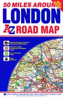 Wegenkaart - landkaart 50 Miles Around London Road Map | A-Z Map Company
This A-Z 50 Miles around London map is a full colour, single sided, fold-out road map featuring continuous mapping extending from Rugby and Bury St. Edmunds to the south coast …
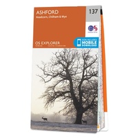 Wandelkaart - Topografische kaart 137 OS Explorer Map Ashford | Ordnance Survey
Met zijn 4cm voor 1 km (2 ½ cm voor 1 mijl) schaal, is de OS Explorer kaartenserie de ideale en meest gedetailleerde kaartenreeks voor mensen die graag outdoor-activiteiten zoals …
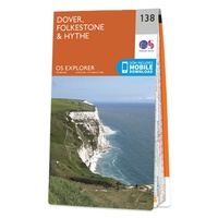 Wandelkaart - Topografische kaart 138 OS Explorer Map Dover, Folkstone, Hythe | Ordnance Survey
Met zijn 4cm voor 1 km (2 ½ cm voor 1 mijl) schaal, is de OS Explorer kaartenserie de ideale en meest gedetailleerde kaartenreeks voor mensen die graag outdoor-activiteiten zoals …
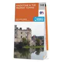 Wandelkaart - Topografische kaart 148 OS Explorer Map Maidstone, Medway Towns | Ordnance Survey
Walk a beautiful stretch of the North Downs Way offering spectacular views of the Kent Downs, Medway Valley and towards the Channel. Discover Kentish villages with their distinctive oast-house chimneys, …
 Wandelkaart - Topografische kaart 149 OS Explorer Map Sittingbourne, Faversham | Ordnance Survey
Explore the serene Isle of Sheppey and follow the Saxon Shore Way to discover the towns of Sittingbourne and Faversham. Further inland, the Kent Downs – an Area of Outstanding …
 Wandelkaart - Topografische kaart 150 OS Explorer Map Canterbury, Isle of Thanet | Ordnance Survey
Discover Canterbury, city of saints and kings, ancient heartland of England at the foot of the Kent Downs and the head of the River Stour Valley with its vineyards. Follow …
 Wandelkaart - Topografische kaart 162 OS Explorer Map Greenwich, Gravesend | Ordnance Survey
Consider yourself at home as you explore London's East End, a byword for cheeky Cockneys, gruesome murders and political activism. See the Thames in a new light in Greenwich, where …
 Wandelkaart - Topografische kaart 163 OS Explorer Map Gravesend, Rochester | Ordnance Survey
Immerse yourself in Gravesend with its maritime history, Charles Dickens links and even a Cold War bunker! Contrast the medieval magnificence of Rochester where the cathedra was founded in 604 …
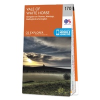 Wandelkaart - Topografische kaart 170 OS Explorer Map Abingdon, Wantage & Vale of White Horse | Ordnance Survey
Discover the Vale of White Horse, rolling hills dominated by the extraordinary, eponymous White Horse, an enigmatic Bronze Age chalk carving which can be seen for miles leaping across the …
 Reisgids Marco Polo NL Zuid England | 62Damrak
Marco Polo reisgids voor Zuid-Engeland. Handig pocketformaat, boordevol informatie, met uitneembare kaart achter in het boek en atlas-pagina’s. Met Insider Tips om de échte stad/streek te ontdekken en de TOP …
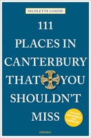 Reisgids 111 places in Places in Canterbury That You Shouldn't Miss | Emons
The ultimate insider's guide to Canterbury Features interesting and unusual places not found in traditional travel guides Part of the international 111 Places/Shops series with over 250 titles and 1.5 …
 Reisgids Zuid-Engeland | Baedeker NL
Een Nederlandstalige versie van de beroemde Baedeker reisgids: zeer gedegen, veel informatie en achtergronden, met veel kaartjes en illustraties. Echt een lust voor het oog en ook nog eens één …
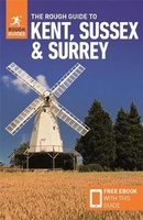 Reisgids Kent, Sussex & Surrey | Rough Guides
Make the most of your time on Earth with the ultimate travel guides. World-renowned 'tell it like it is' travel guide, now with free eBook. Discover Kent, Sussex and …
★★★★★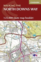 Wandelgids Walking the North Downs Way Map Booklet | Cicerone
All the mapping you need to walk the 130 mile (208km) North Downs Way National Trail between Farnham and Dover. One of the easier National Trails, it can be comfortably …
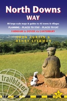 Wandelgids North Downs Way | Trailblazer Guides
A 131-mile National Trail, the North Downs Way runs from Farnham in Surrey to Dover in Kent, partly following the old Pilgrims' Way to the shrine of St Thomas à …
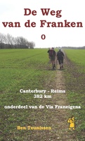 Wandelgids - Pelgrimsroute De Weg van de Franken 0 | Anoda Publishing
Deze gids is onderdeel van een routebeschrijving, die je vanaf Canterbury de tocht laat ontdekken die bisschop Sigeric in 990 vanuit Rome ondernam. Deze pelgrimsweg van de Franken, bekend als …
 Reisgids Capitool Reisgidsen Zuid-Engeland | Unieboek
De Capitool Reisgids Zuid-Engeland helpt je bij het samenstellen van de perfecte reis. Deze reisgids verdeelt Zuid-Engeland in zes gebieden: Londen, Kent en Sussex, Hampshire en Wiltshire, Dorset en Somerset, …
★★★★★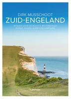 Reisgids Zuid Engeland | Lannoo
Maak op een onovertroffen wijze kennis met de regio's Kent, East & West Sussex, Surrey, Hampshire en het eiland Wight, en de bestemmingen die je daar absoluut niet mag missen. …
 Reisgids Eyewitness Travel England's South Coast - Zuid Engeland | Dorling Kindersley
Prachtig geillustreerde reisgids met o.a. 3D tekeningen, fraaie kaarten en geweldige foto’s. Daarnaast uitgebreide achtergrondbeschrijvingen. Echt om in de stemming te komen! Groot formaat gids. Engelstalig Taking you from Kent …
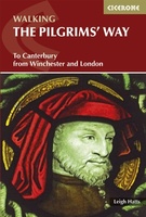 Wandelgids - Pelgrimsroute The Pilgrims' Way | Cicerone
Uitstekende wandelgids van de Pilgrims' Way, waarbij naast alle noodzakelijke informatie ook gebruik gemaakt wordt van de echte topografische kaart. This guidebook details the Pilgrims' Way, an historic pilgrimage route …
★★★★★
Laatste reviews

Niet echt voor beginners. Ook zijn de routes soms moeilijk qua logistiek. Weer terugkomen aan het eind bv. En in voorseizoen (mei) blijft er niet …
★★★★★ door Tjeerd 17 mei 2024 | Heeft dit artikel gekocht
Van te voren had ik een andere kaart op het oog. Toen ik in de winkel was adviseerde zij mij deze kaart. Op hun verzoek …
★★★★★ door Koen 17 mei 2024 | Heeft dit artikel gekocht
Ideale schaal waar ook de kleinere wegen duidelijk zijn aangegeven. Beschrijving op website is correct.
★★★★★ door Peter 16 mei 2024 | Heeft dit artikel gekocht
Overzichtelijke kaart. Niks op aan te merken.
★★★★★ door Bastiaan de Leeuw 16 mei 2024 | Heeft dit artikel gekocht