Wegenatlas - Atlas Mpumalanga Tourist Atlas - Kruger National Park | MapStudio (9781868098989)

- ISBN / CODE: 9781868098989
- Aantal blz.: 88
- Uitgever: MapStudio
- Soort: Atlas, Wegenatlas
- Taal: Engels
- Schrijf als eerste een review
-
€ 17,50
Uitverkocht, nooit meer leverbaar
.jpg)
.jpg)
-
Wegenatlassen van delen van Zuid Afrika

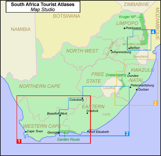
Producten op deze overzichtskaart:
Klik op een product om naar de pagina van dat product te gaan.
Overzichtskaarten
Beschrijving
Handzame (iets groter dan A5) wegenatlas van een deel van Zuid Afrika. Bijzonder nuttig zijn de vele centrumkaarten van steden in deze regio. Op de kaarten zijn de toeristische bezienswaardigheden ingetekend.
Mpumalanga Tourist Atlas from Map Studio in a paperback format with maps, street plans, photographs, and descriptions of the province’s main places of interest. The opening notes on the history of Mpumalanga (the south-eastern part of the old province of Transvaal) and the possibilities it offers for outdoor recreation, including six special 4x4 trails, are followed by a section on main tourist areas within the province.
A separate section covers the Kruger National Park, concentrating mainly on the Mpumalanga section but including a map and some text for the northern part of the park in the Limpopo province. Both sections have numerous maps and street plans showing places of interest, accommodation, and other facilities and services, plus descriptions and colour photographs.
The 22-page road atlas of the whole province has no relief colouring or shading, but highlights numerous places of interest, accommodation, and recreational facilities. Only the Mpumalanga part of the Kruger NP is covered here.
The maps are followed by an index and lists of useful addresses.
Reviews
Geen reviews gevonden voor dit product.
Schrijf een review
Graag horen wij wat u van dit artikel vindt. Vindt u het goed, leuk, mooi, slecht, lelijk, onbruikbaar of erg handig: schrijf gerust alles op! Het is niet alleen leuk om te doen maar u informeert andere klanten er ook nog mee!
Ook interessant voor afrika/zuid-afrika
-

Natuurgids Southern African Wildlife
€ 27,95Natuurgidsen Botswana -

Wandelkaart 5&6 South Africa: Draken
€ 29,95Wandelkaarten Zuid-Afrika -

Reisverhaal Zuid-Afrika | Dolf de Vr
€ 26,25Reisverhalen Zuid-Afrika -

Reisgids Life's a Beach - Zuid-Afrik
€ 18,95Reisgidsen Zuid-Afrika -

Wegenkaart - landkaart - Stadsplatte
€ 7,95Stadsplattegronden Zuid-Afrika